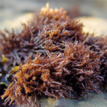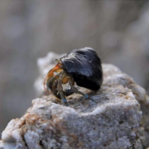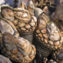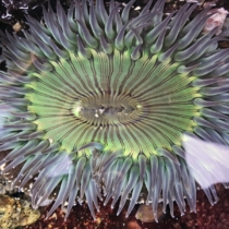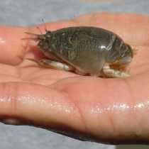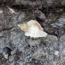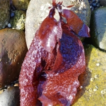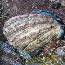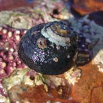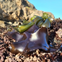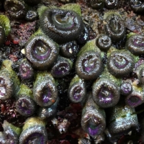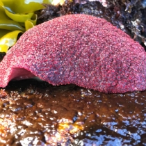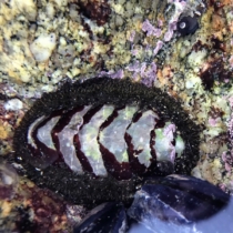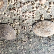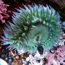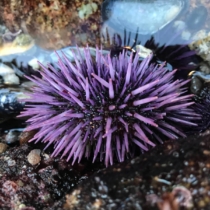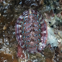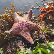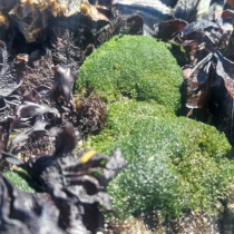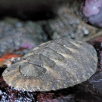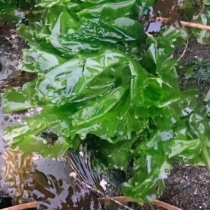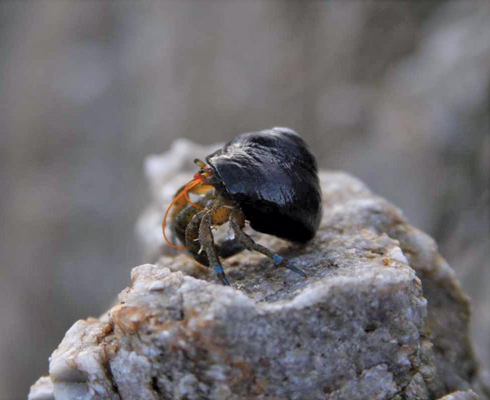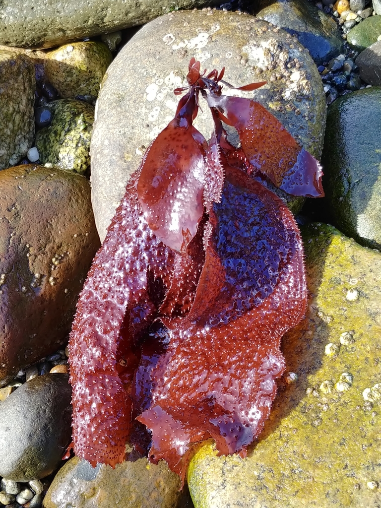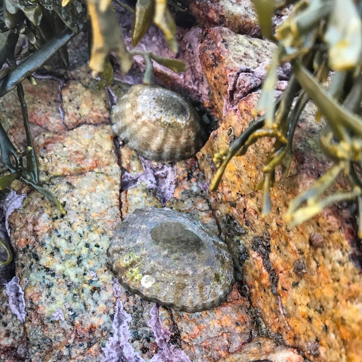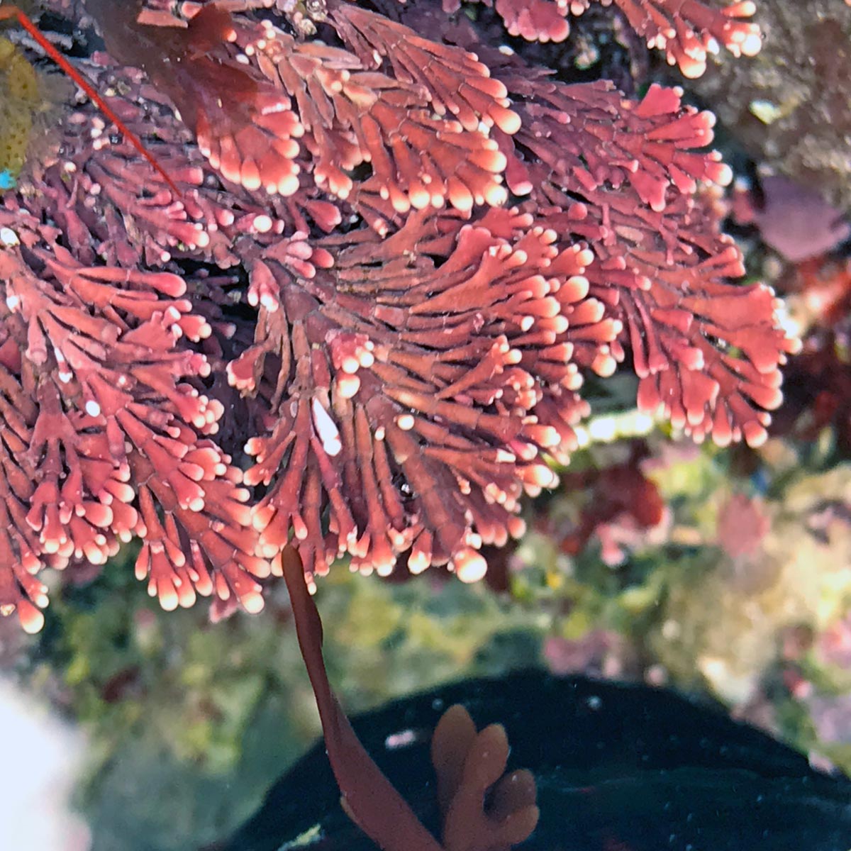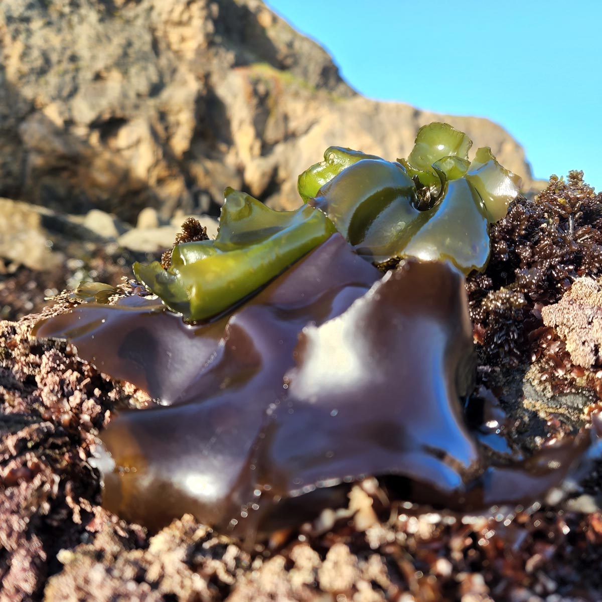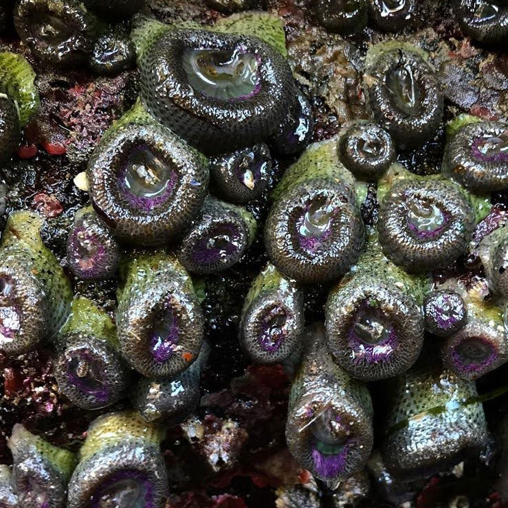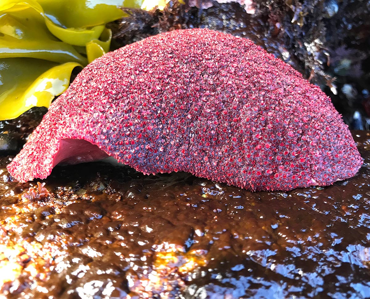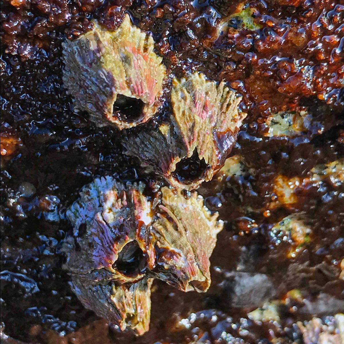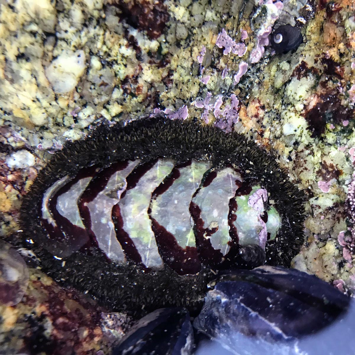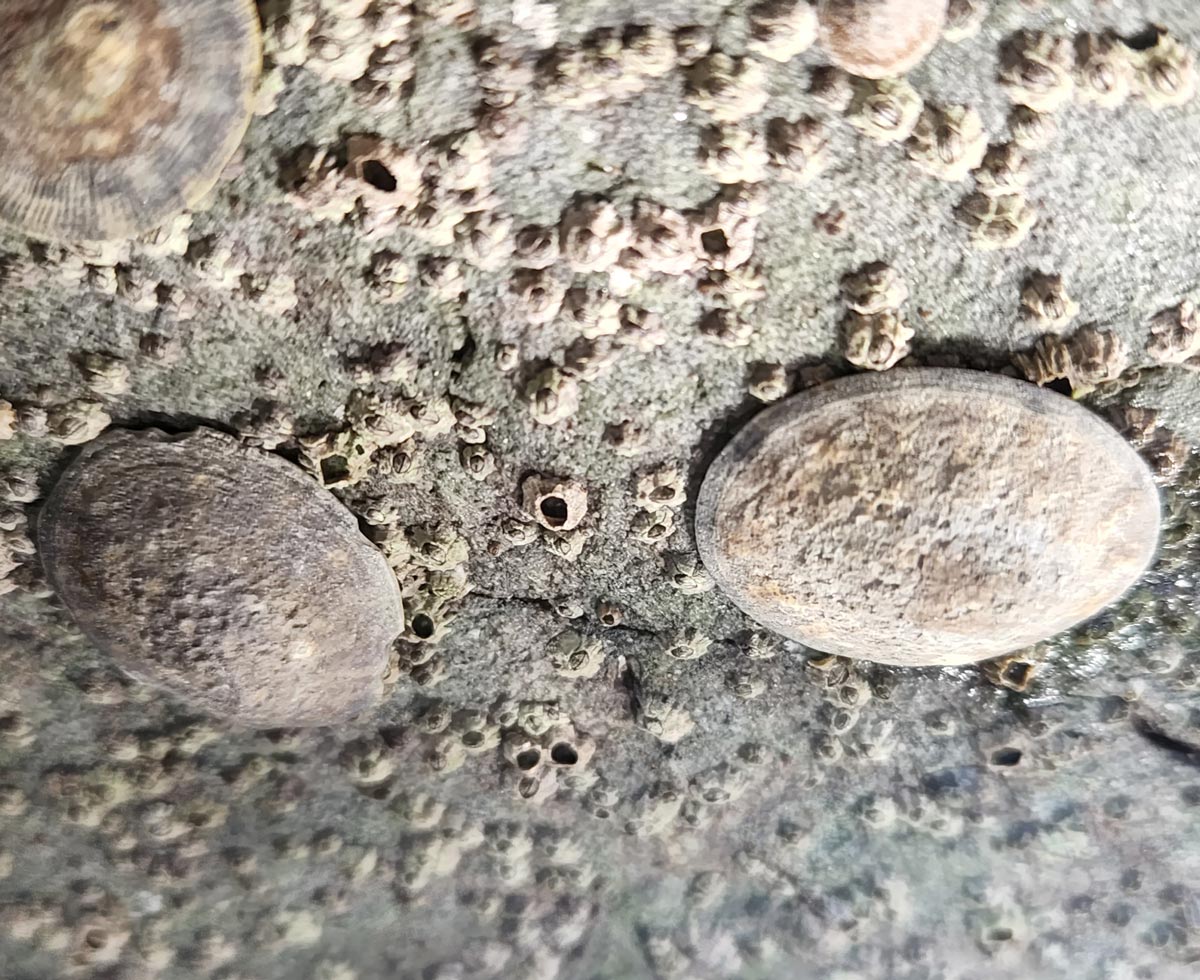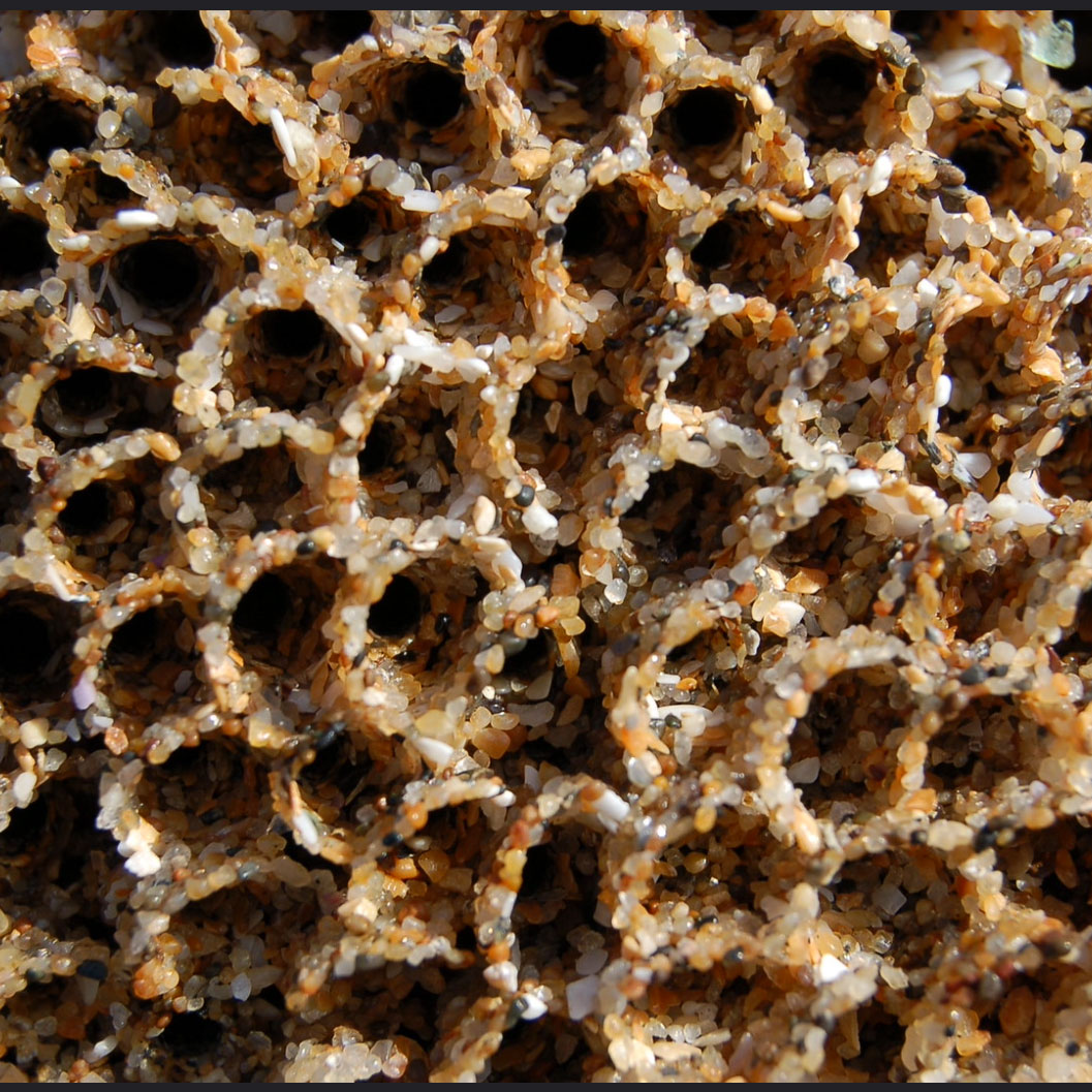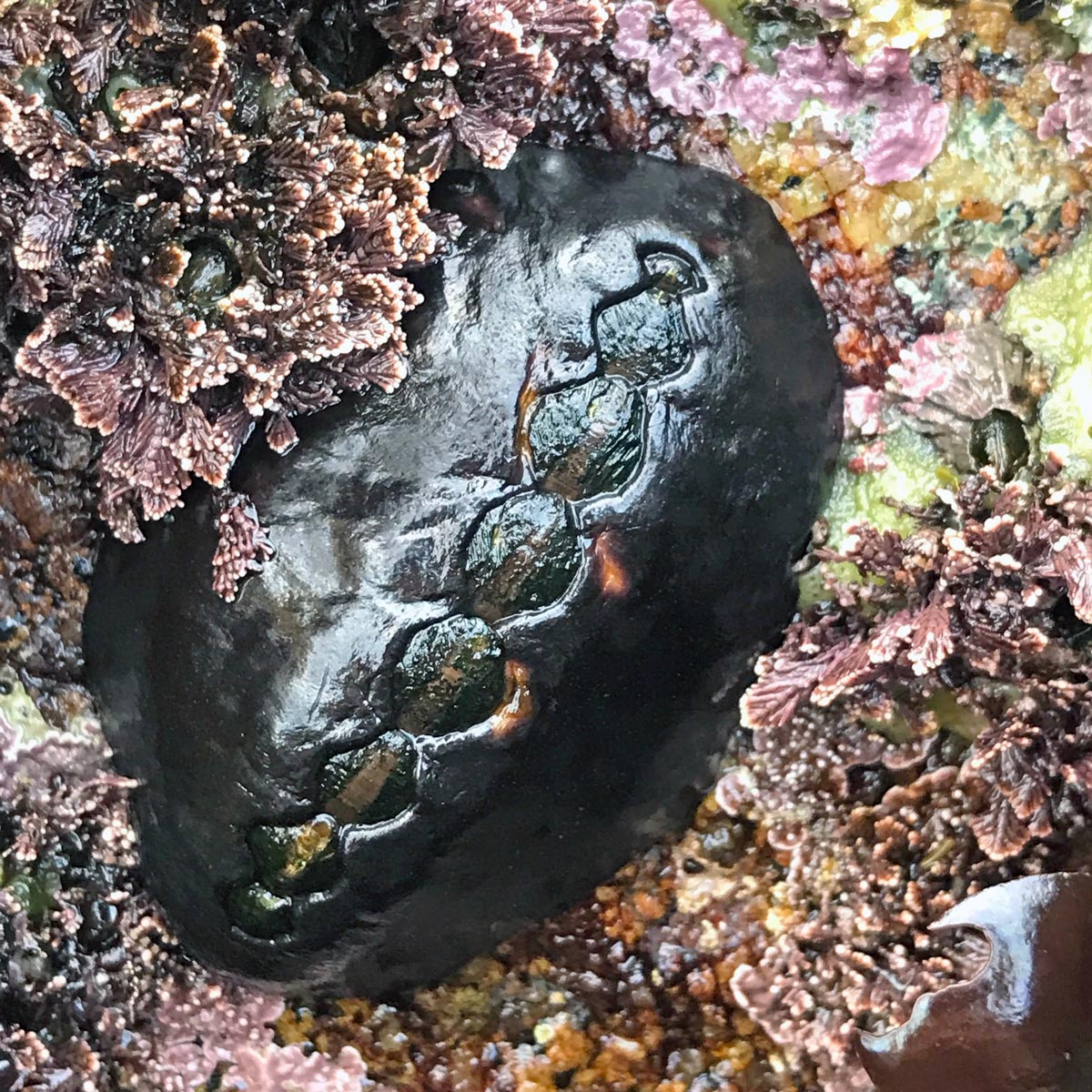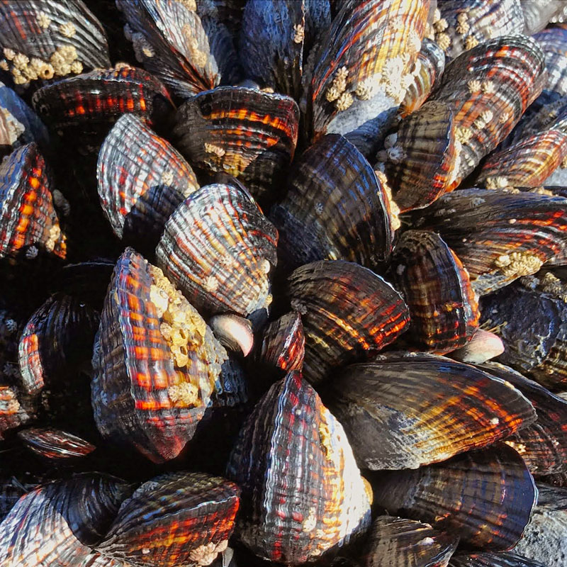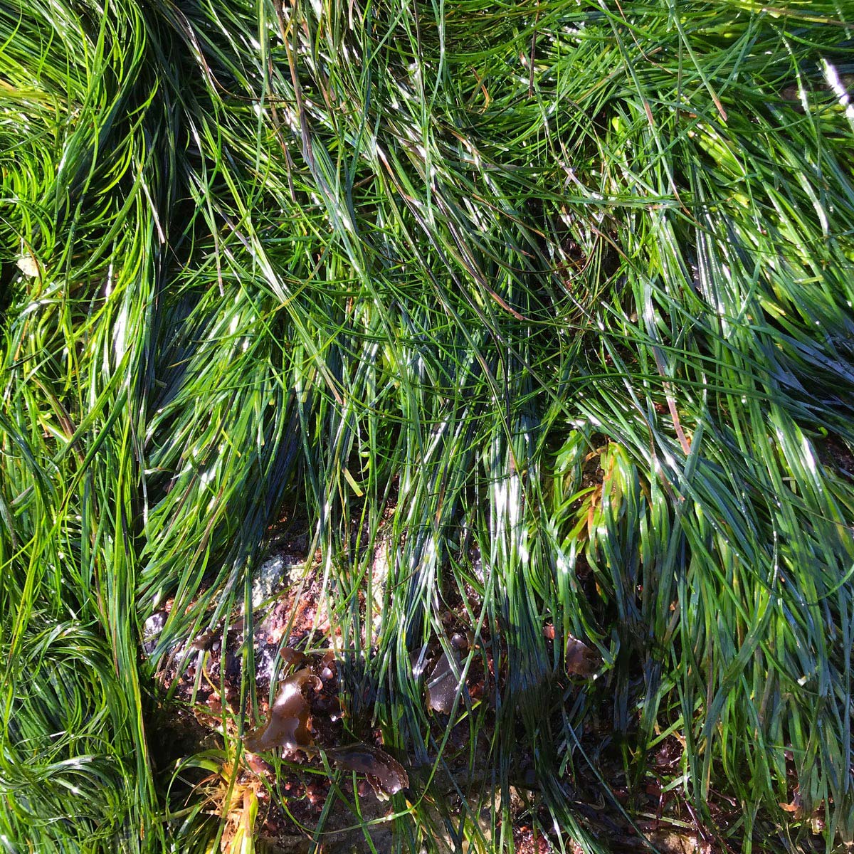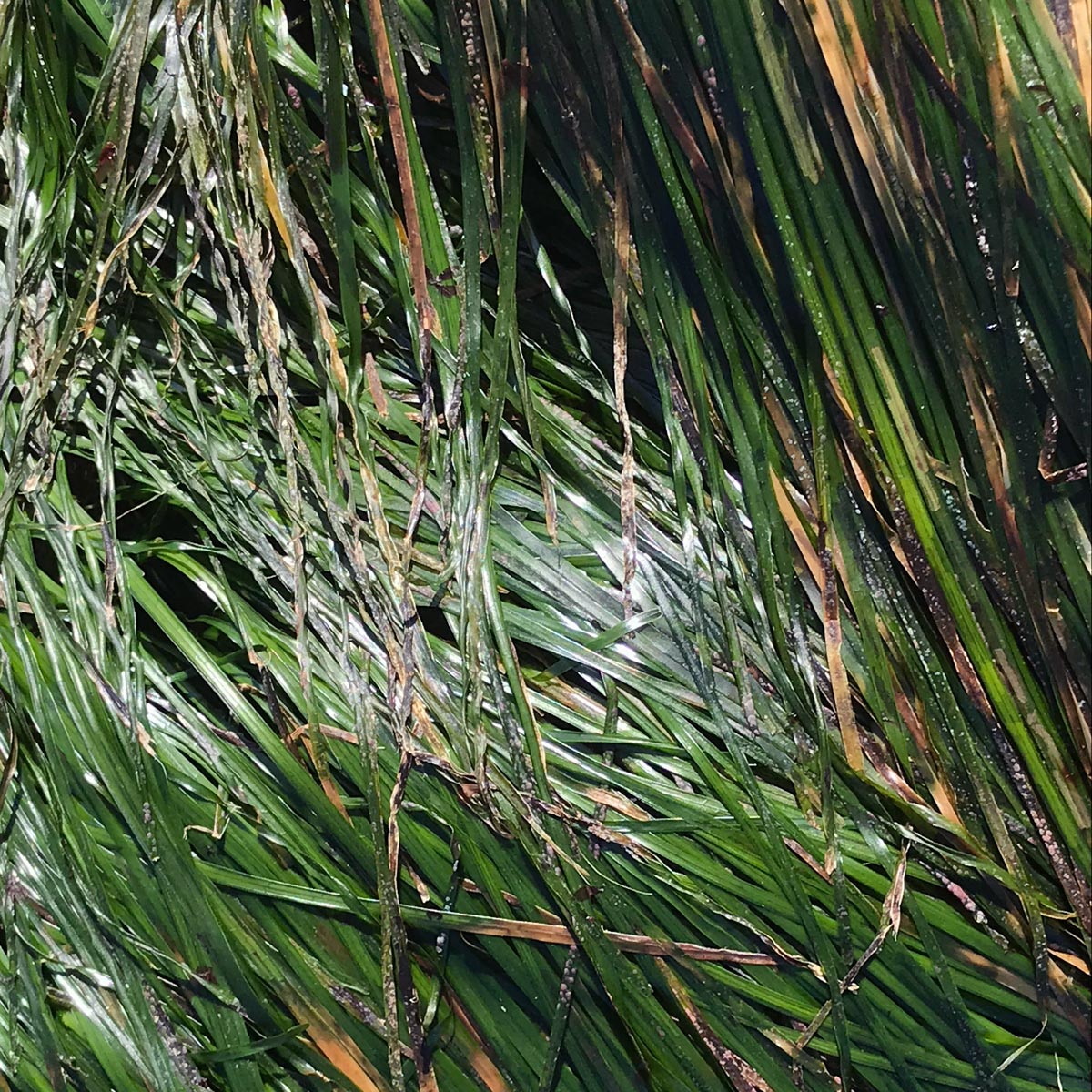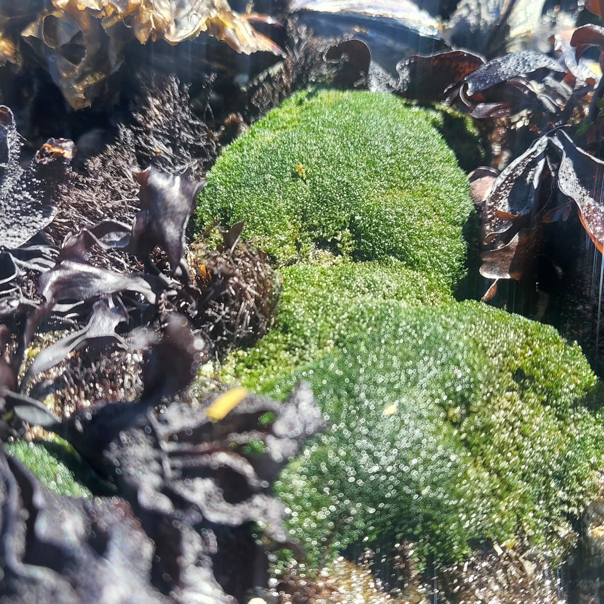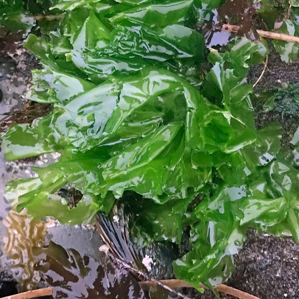
The rocky intertidal is a very heterogeneous place. Each site has different physical and biological features that characterize it. Some are gently sloping benches. Others have many tidepools, cracks, crevices, and steep drop-offs; while others are jumbles of rocky outcrops and boulders. They vary in wave exposure, some being rocky promontories jutting out into the open sea, while others are within protected coves that usually experience only small waves. Some sites are near the mouths of creeks and rivers and experience periods of low salinity during heavy rains. Others are in areas with poor water circulation and little outside input. Intertidal sites also differ in their geologies: some are mainly soft, friable mudstones; others granite or basaltic outcrops. Sometimes there are large amounts of sand that periodically bury the intertidal zone. All of these features influence the kinds of organisms that can occur in a place.
In addition, the organisms themselves reflect the history of the site. If it was recently disturbed by storms, earthquakes, or human activities the organisms are typically early colonizers, which, over time, are replaced by more robust, competitive species. If there is little disturbance over a long period of time, relatively few dominant species will crowd out other species so the diversity actually goes down.
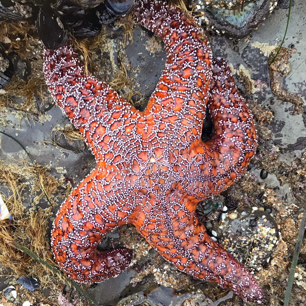
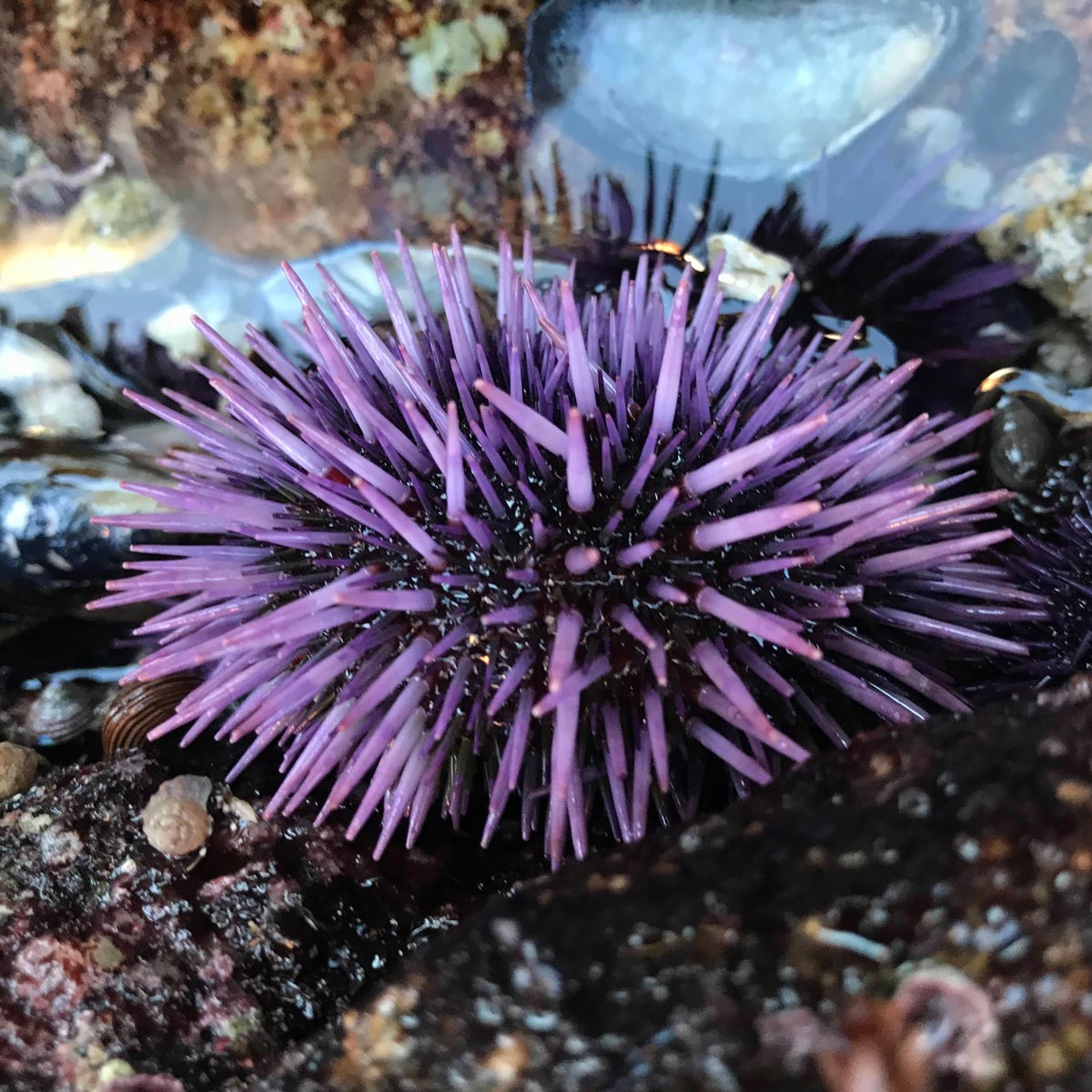
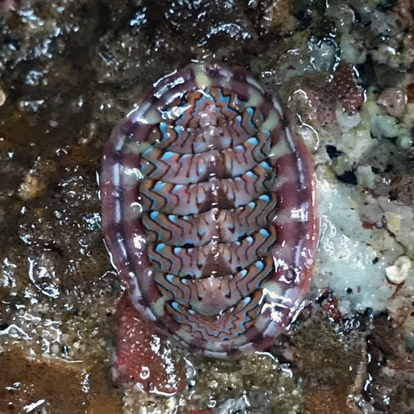
All this variation in the intertidal means that each site is unique and has its own set of physical characteristics, history, and consequently, biotic assemblages. We monitor to detect changes over time in the biotic assemblages. The protocols used to do this will necessarily vary among the sites to accommodate these differences. And although many species are the same at different sites all along the coast, their abundance and distribution varies from site to site, and through time.