Description: A vertical transect is a line along which data is collected that stretches from the high intertidal to the low intertidal. The beginning and end of our transect lines are typically marked by a bolt or marker embedded in the rocky reef. Markers ensure that we revisit the same spot each time we return to the site. A measuring tape is stretched between the two markers, creating the transect line. Monitoring takes place at regular intervals along the transect using a square called a quadrat.
Purpose: 1) Rising sea levels, as a consequence of global warming, may cause species to shift up higher in the intertidal. Long-term monitoring along fixed vertical transects can identify changes in the distribution of species. 2) Collecting data along a vertical transect can demonstrate classic zonation patterns and is an instructive, hands-on lesson in intertidal ecology.
Procedure: The length of the transect line and intervals at which data is collected varies from site to site; however the general technique remains the same for all sites. The general procedures are as follows:
- Find the location of the transect markers and stretch a meter tape along the entire length of the transect.
- Center a quadrat directly over the meter tape at specified regular intervals (e.g., every 5 meters). The length of the intervals varies at each site.
- Record species abundance within the quadrat as directed on the data sheet.
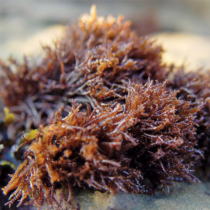
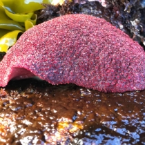
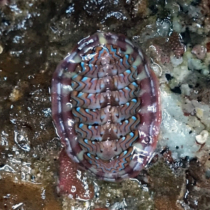
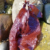
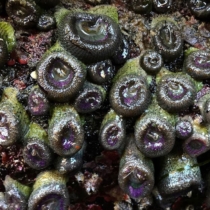
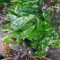
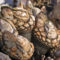
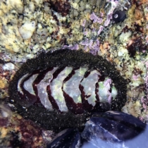
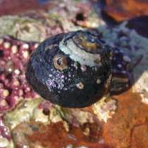
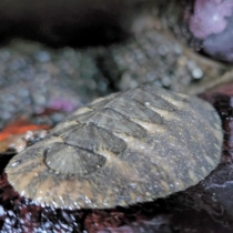
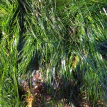
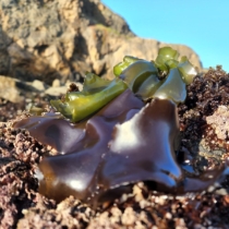
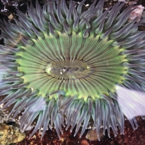
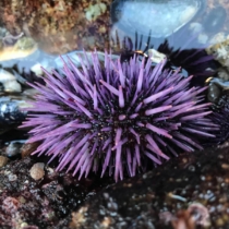
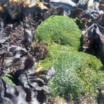
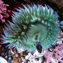
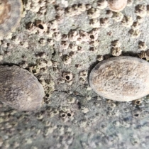
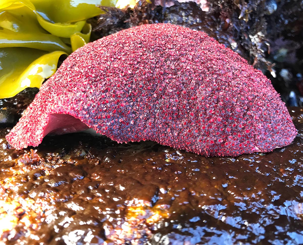
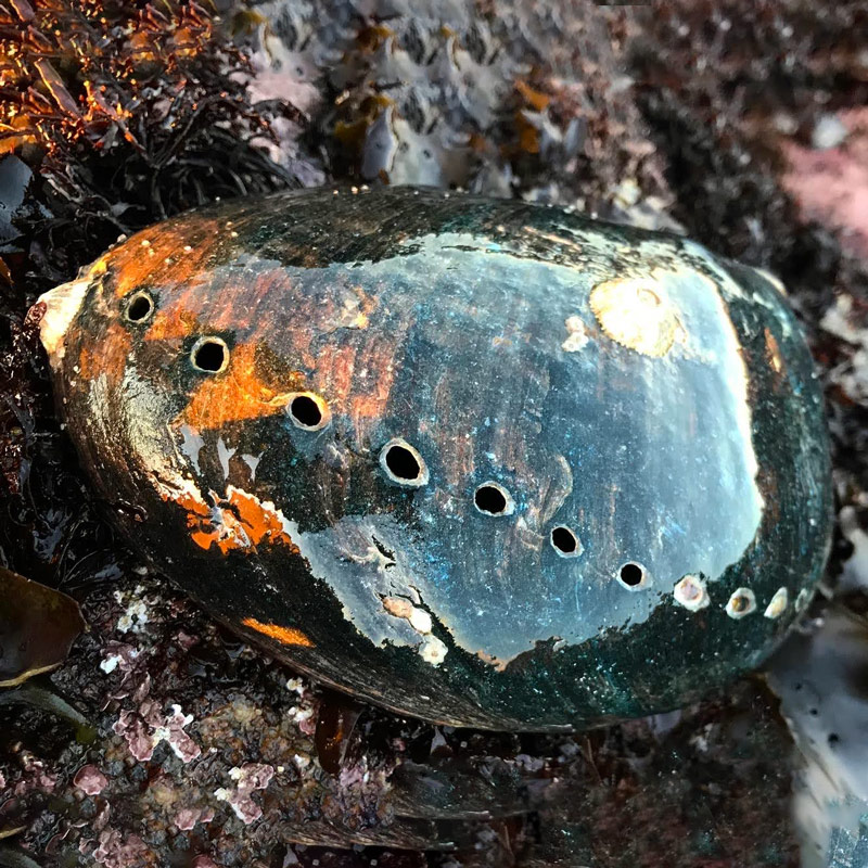
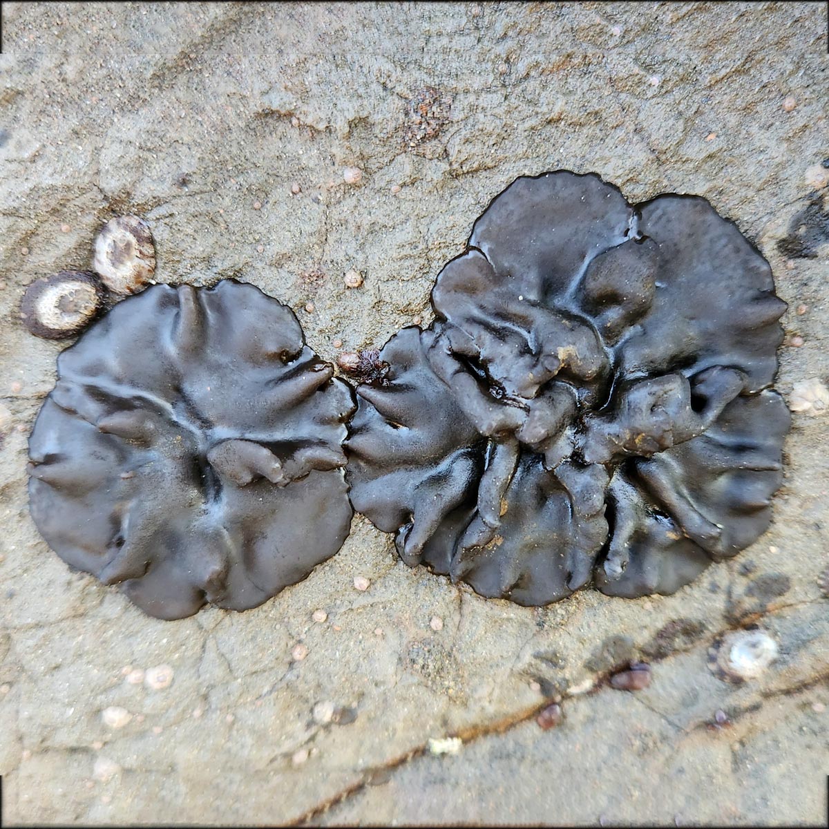
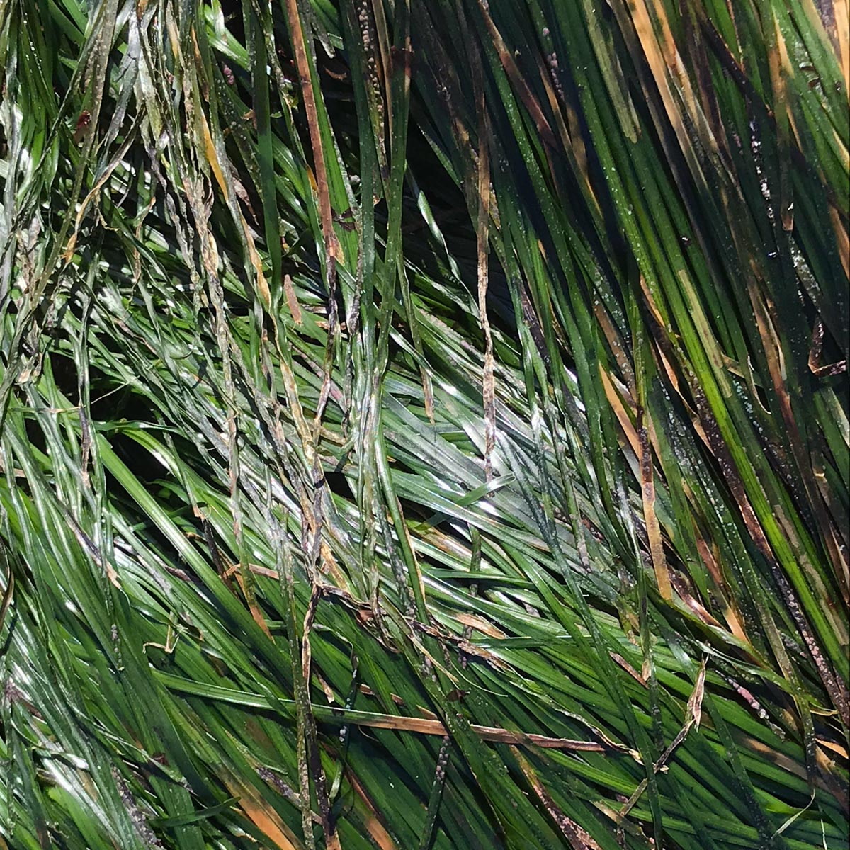
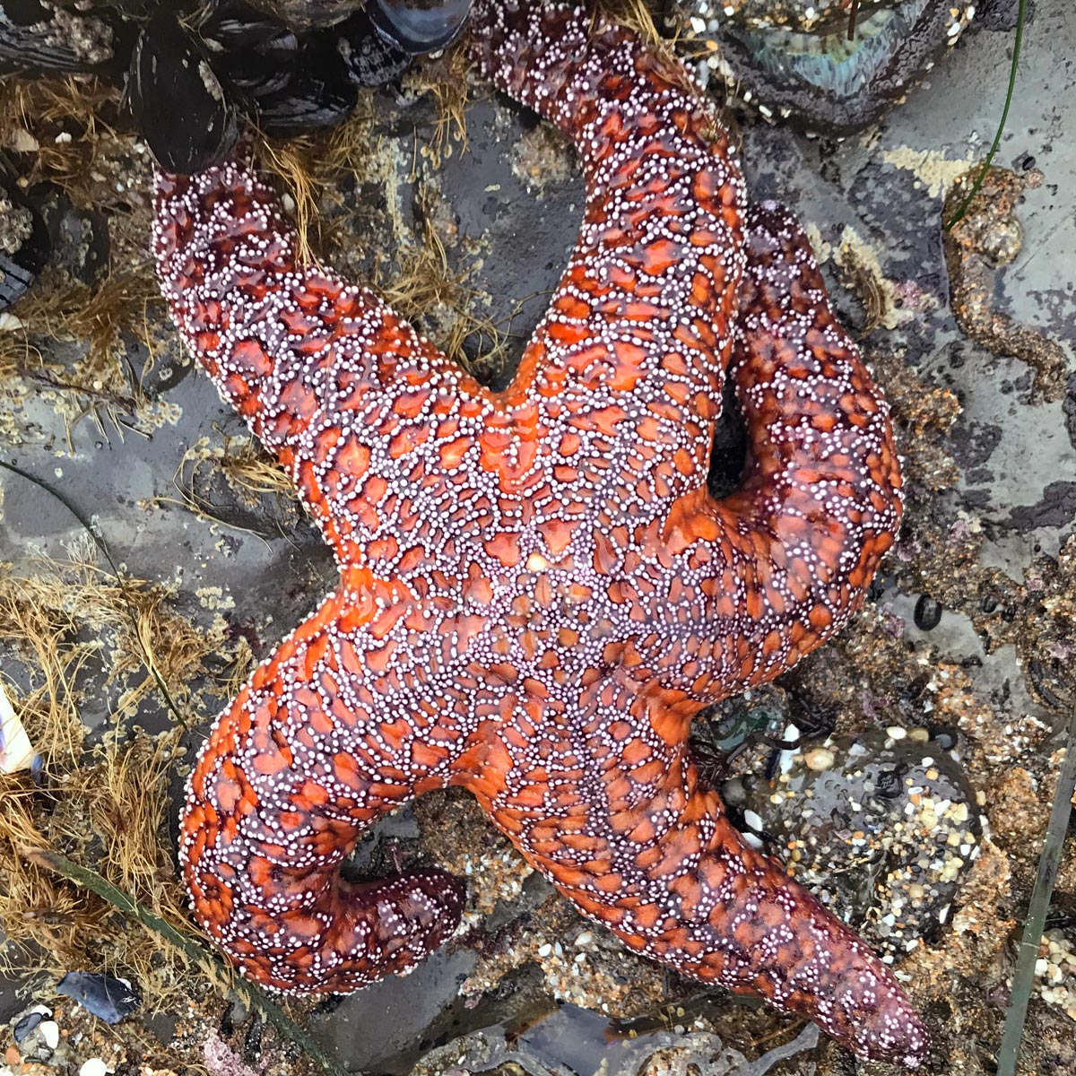
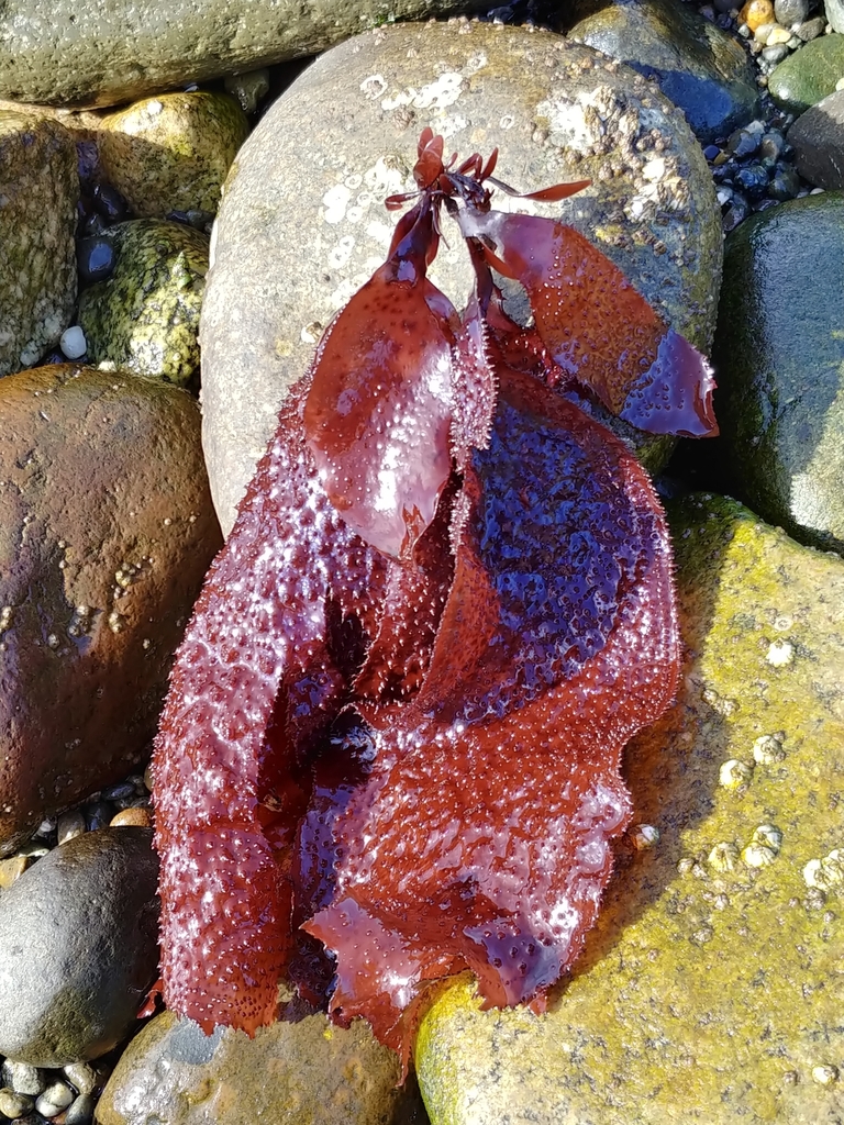
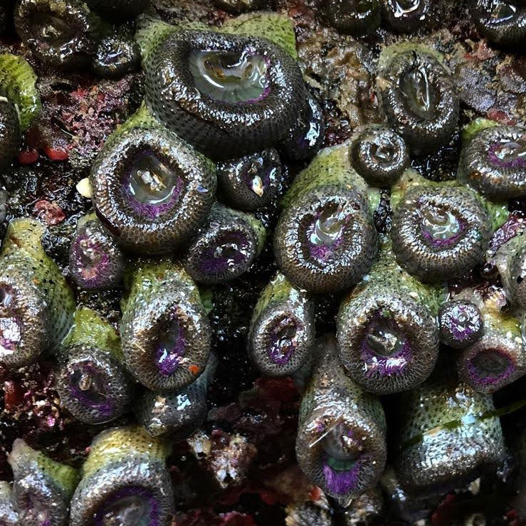
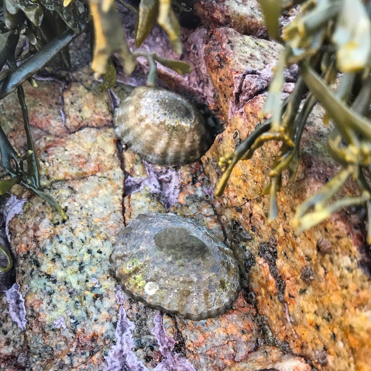
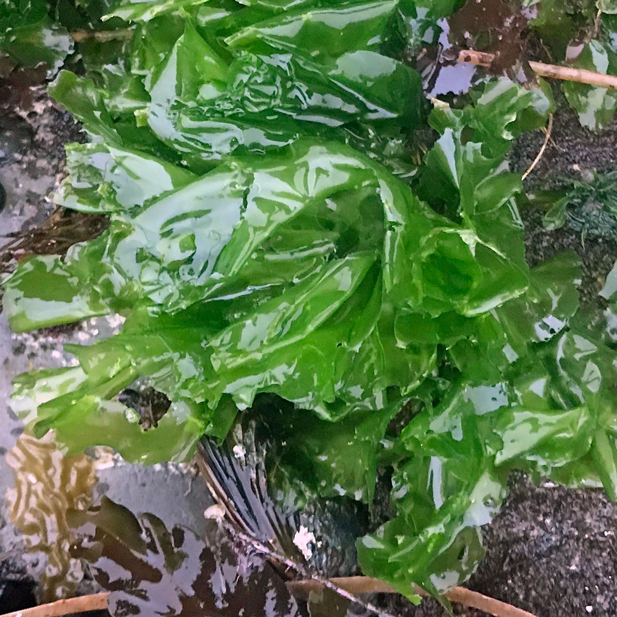
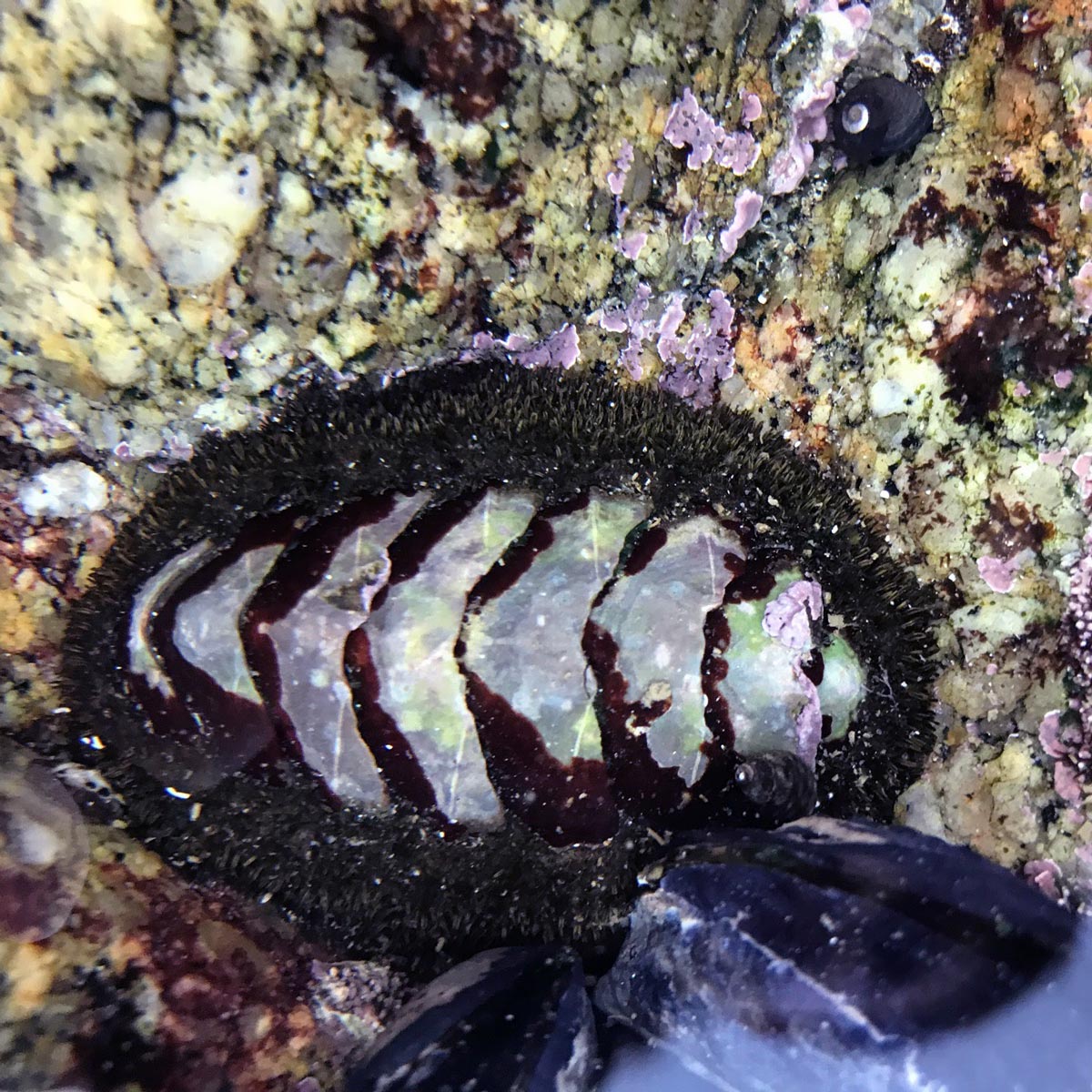
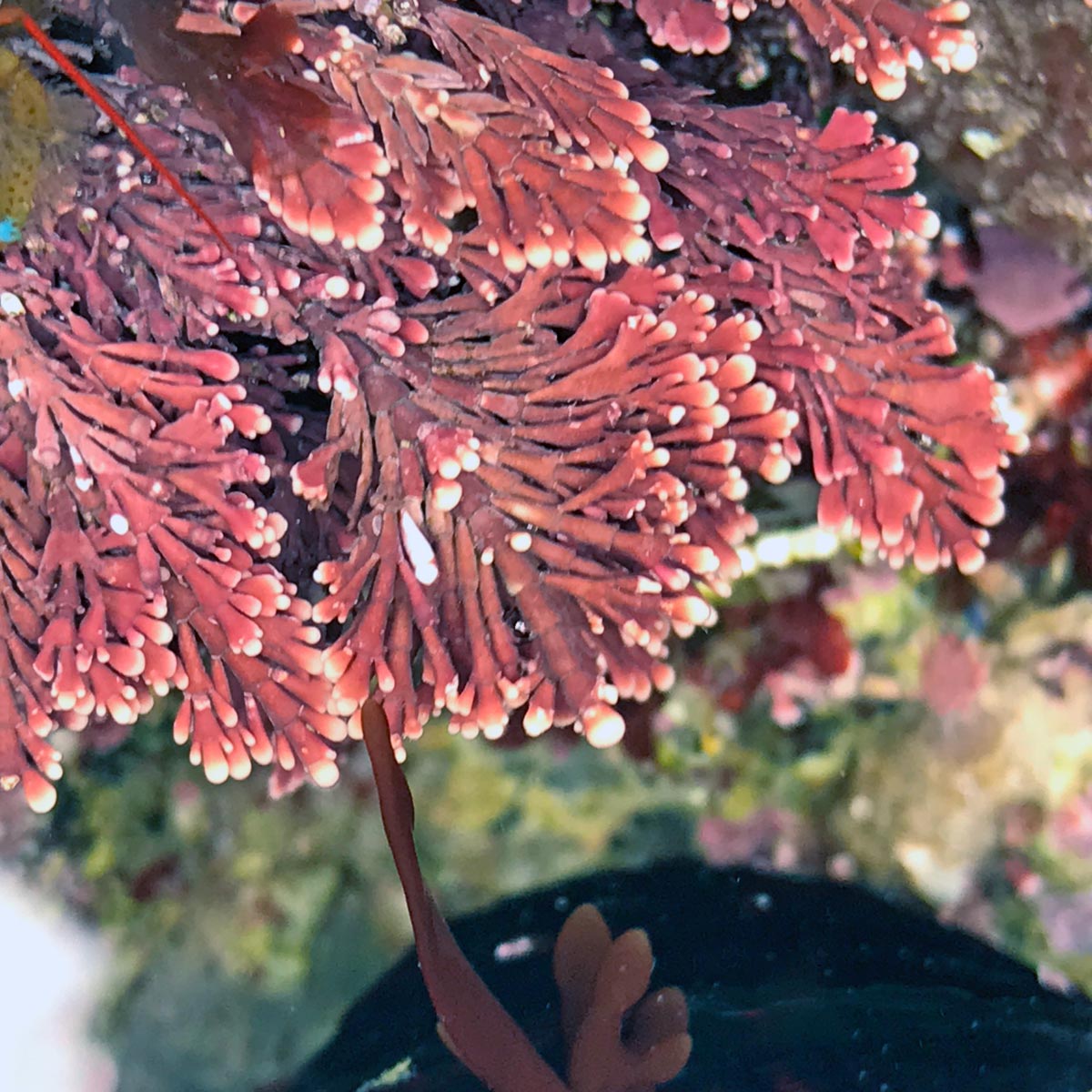
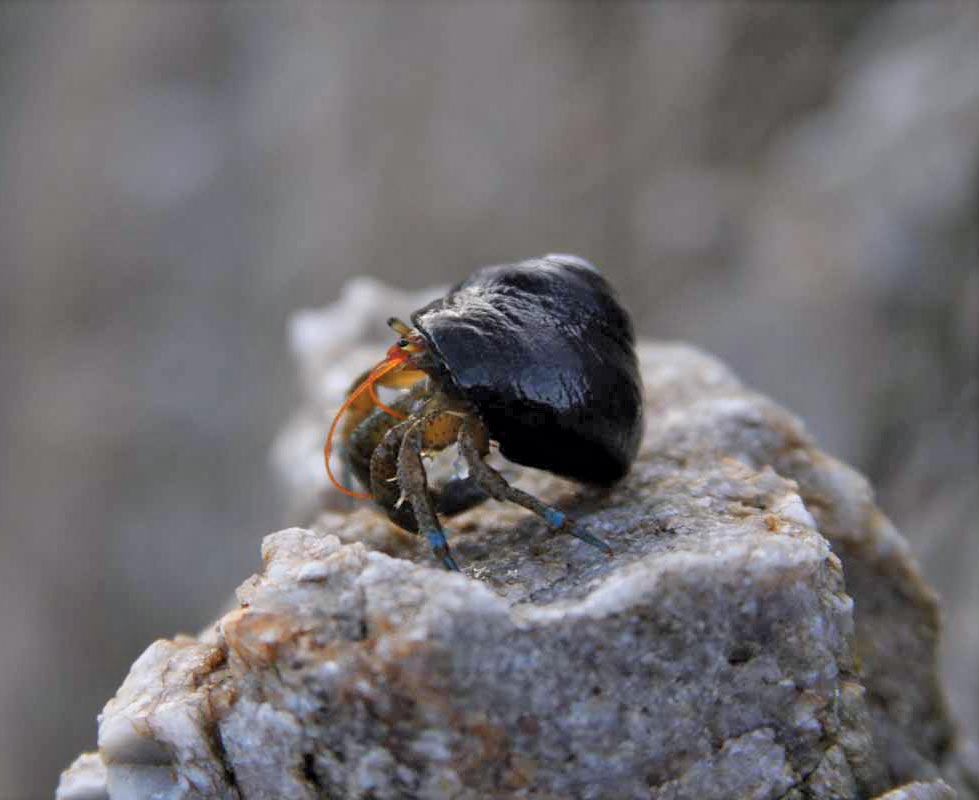
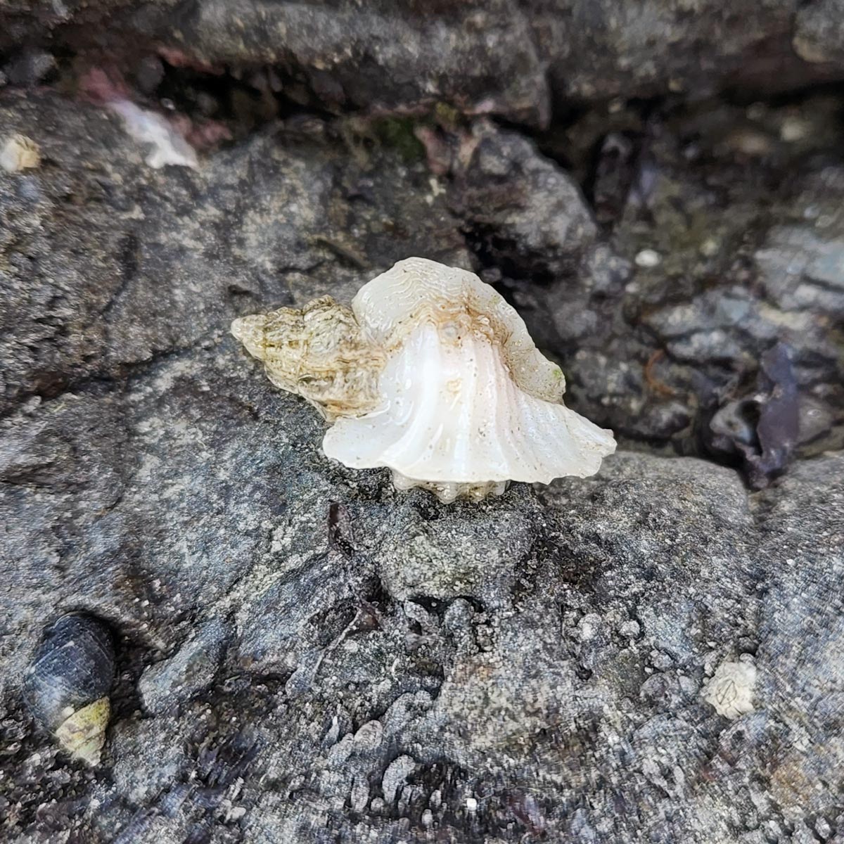
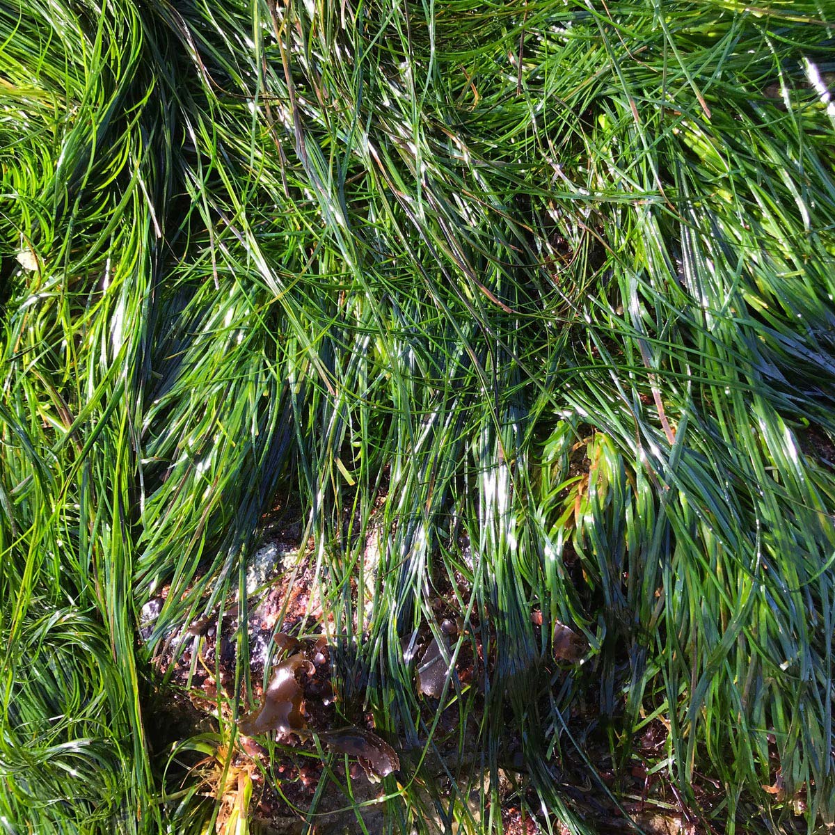
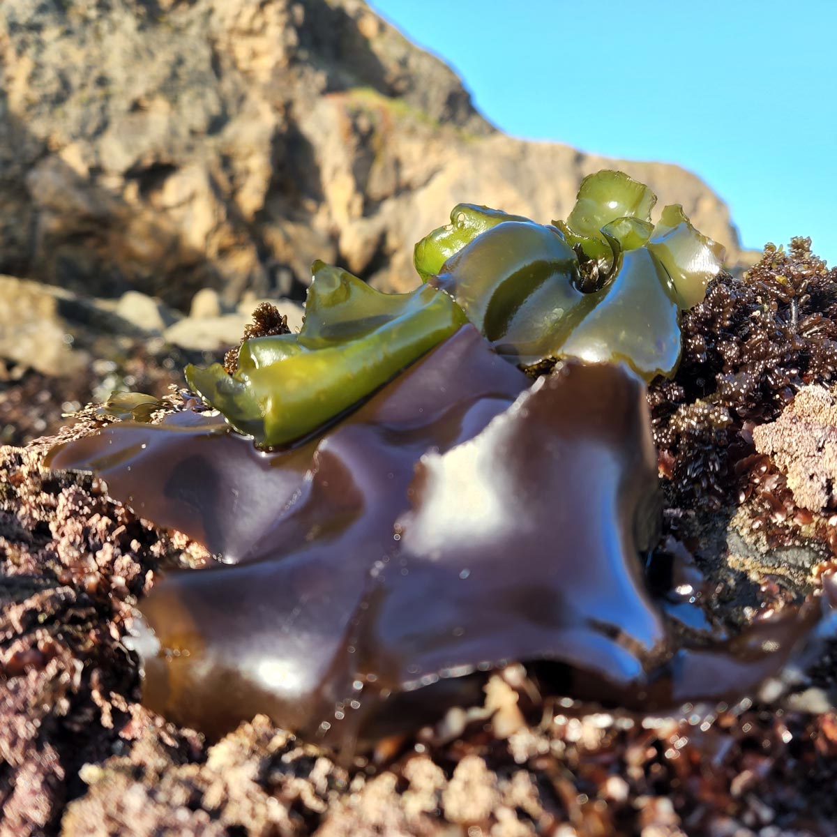
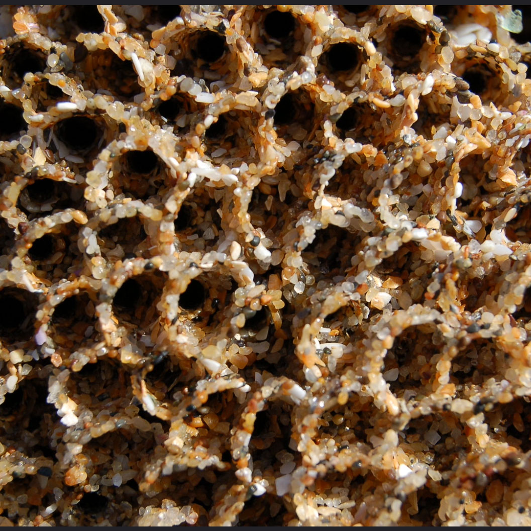
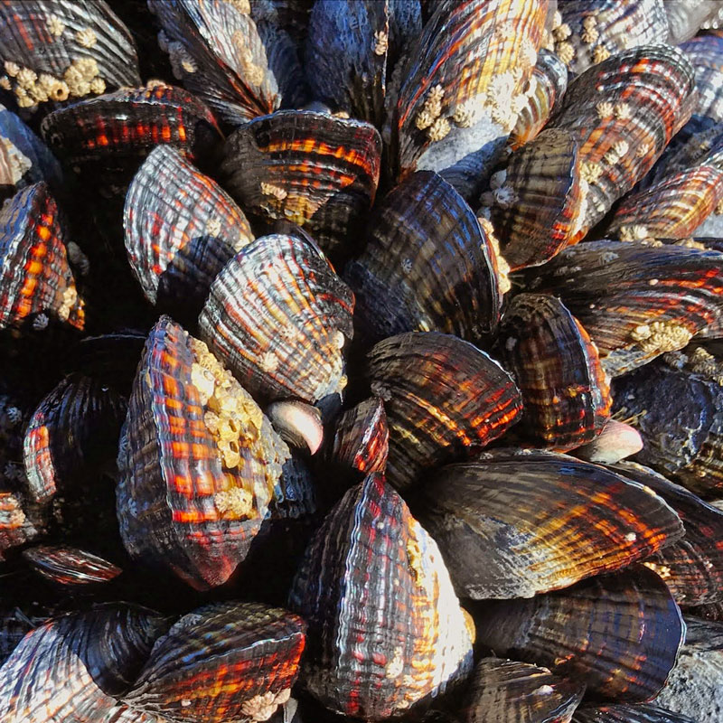
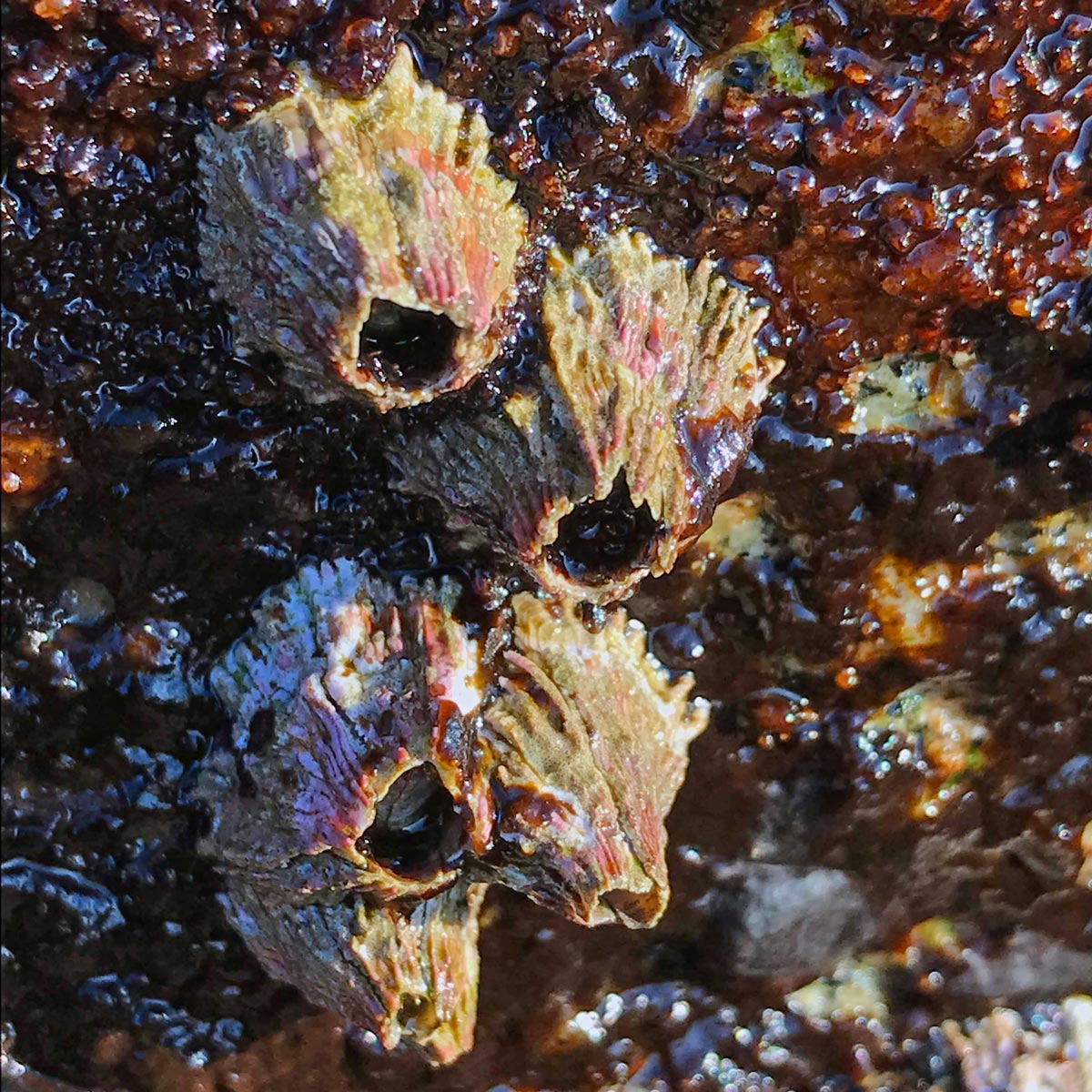
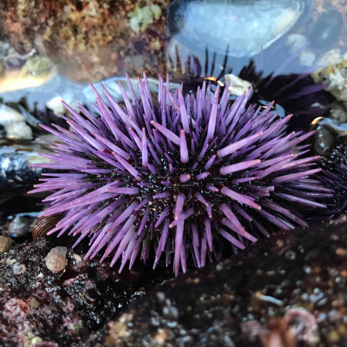
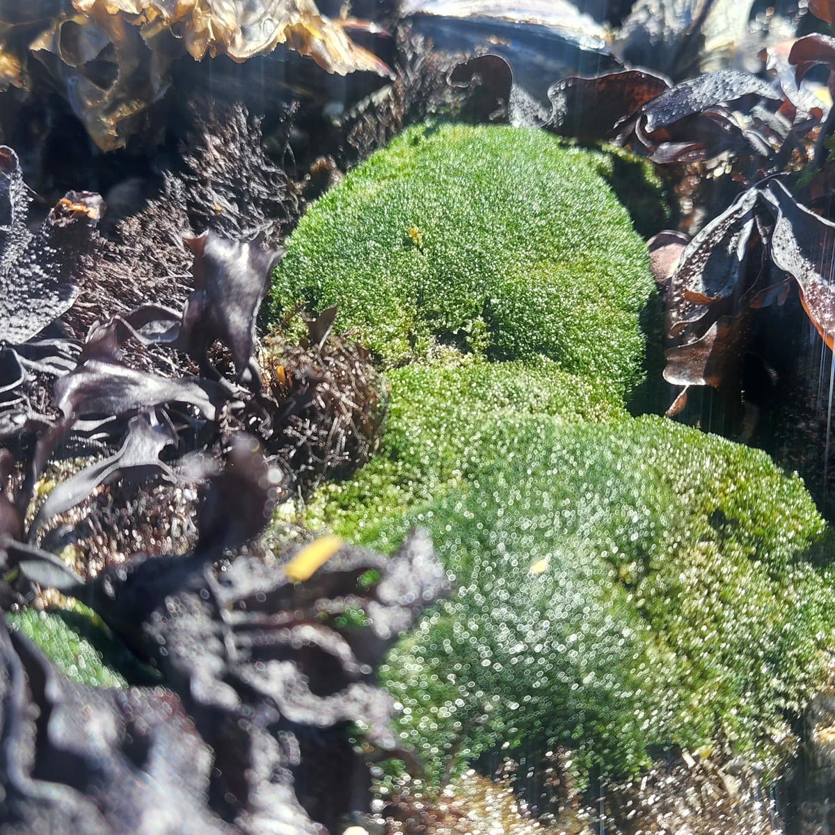
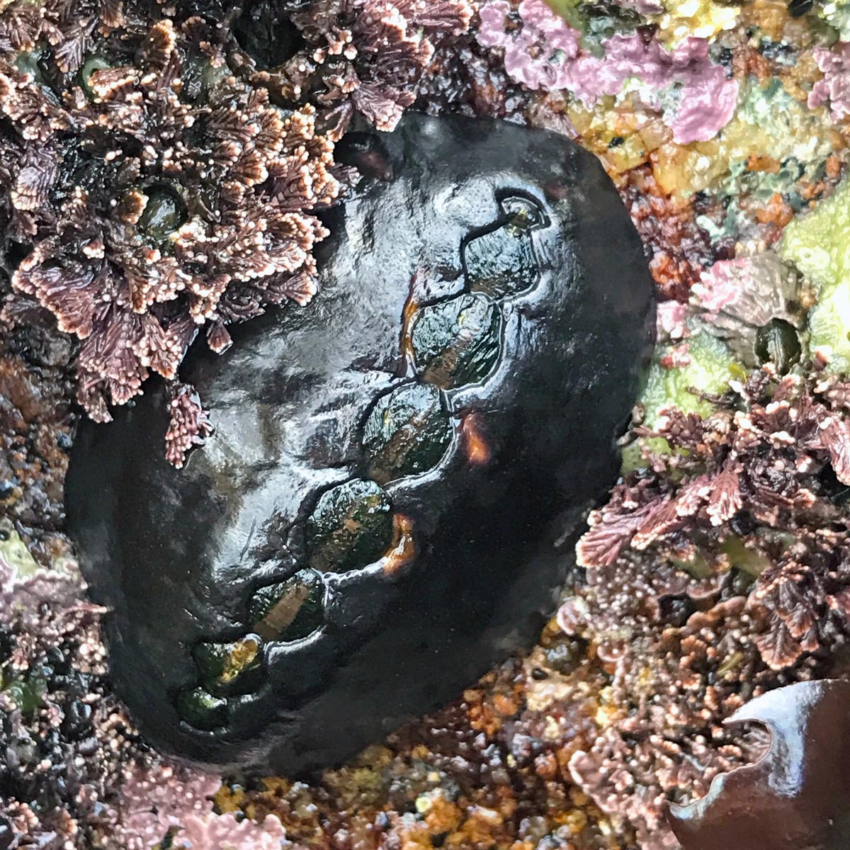
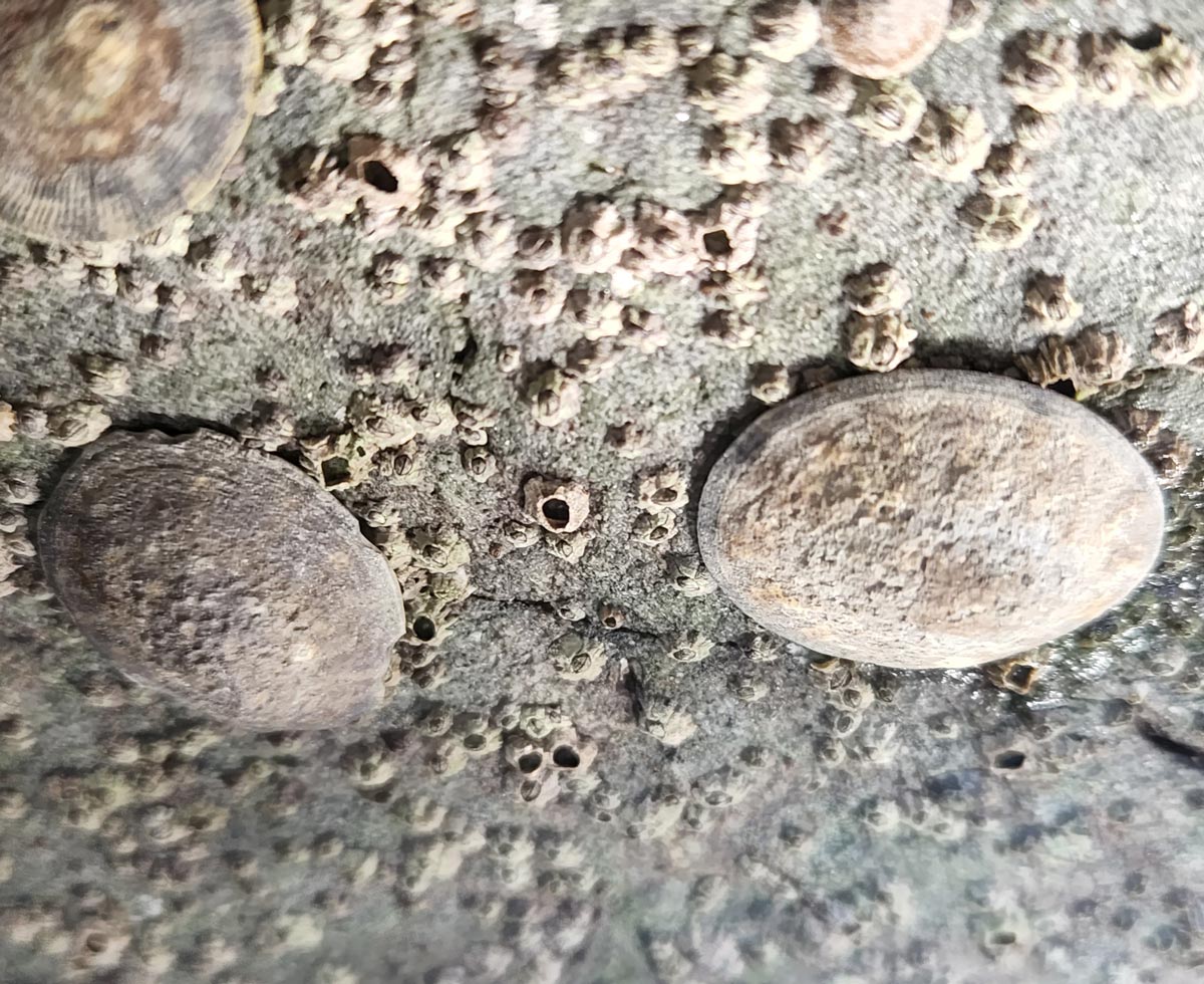
- Count only live invertebrates and algae attached within the quadrat. These include organisms attached to the substrate as well as those attached to sessile organisms within the quadrat (e.g., algae growing on mussels).
- When the count for one quadrat is completed, proceed to the next location along the transect. Continue until the entire length of the transect has been monitored.