The County Line Boulder Field is located a mile west of the Ventura/Los Angeles County line, just above Malibu along the Pacific Coast Highway. From the North, take Highway 101 to Oxnard. Exit Rice Ave and turn towards the ocean. Rice Ave becomes Highway 1 South, the Pacific Coast Highway (PCH). Continue on PCH until you come to the Neptune’s Net Seafood Restaurant (42505 PCH), three miles past the Sycamore Canyon State Park. Neptune’s Net will be on your left. Park in the dirt lot on your right. From the South, take the PCH Northbound. Continue along PCH past Pepperdine and Leo Carrillo State Park until you come to the Neptune’s Net Seafood Restaurant. Neptune’s Net will be on your right. Park in the dirt lot on your left.
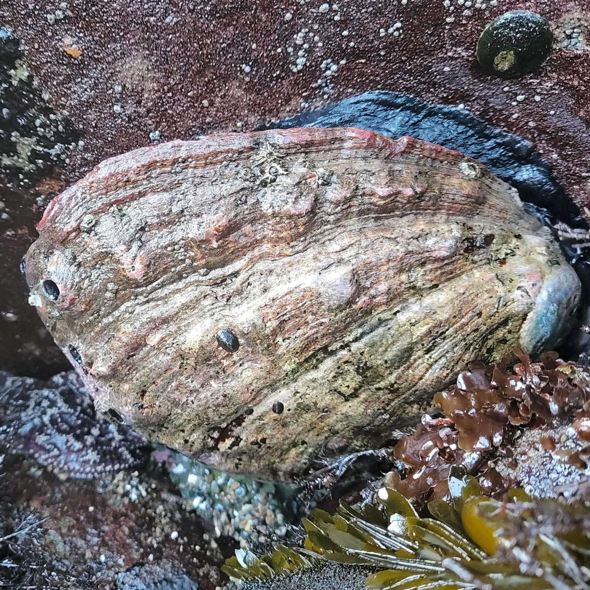
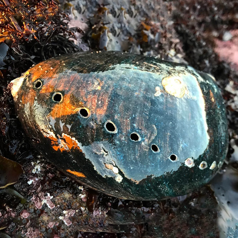
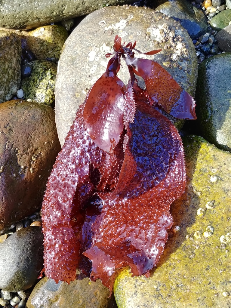
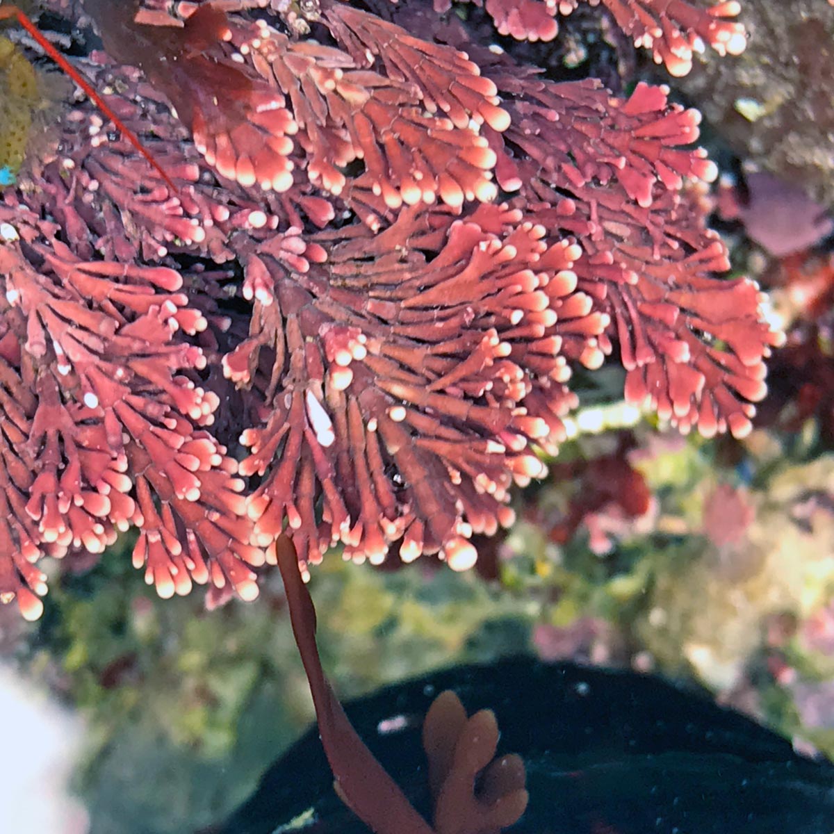
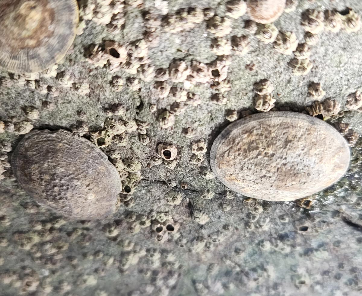
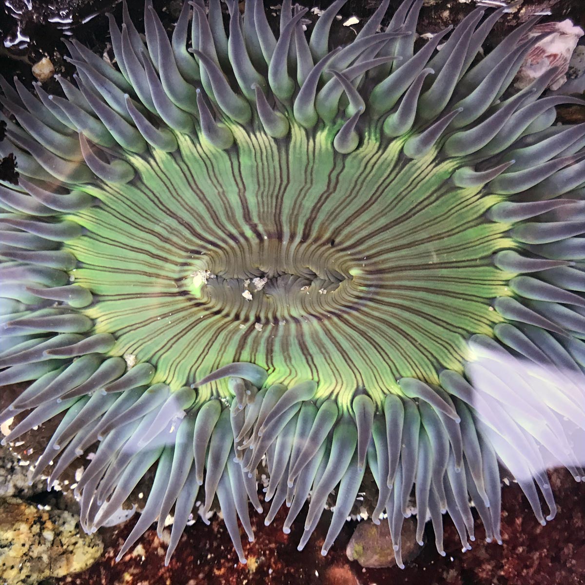
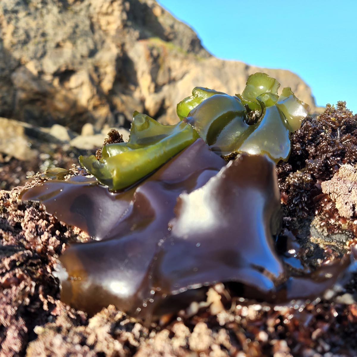
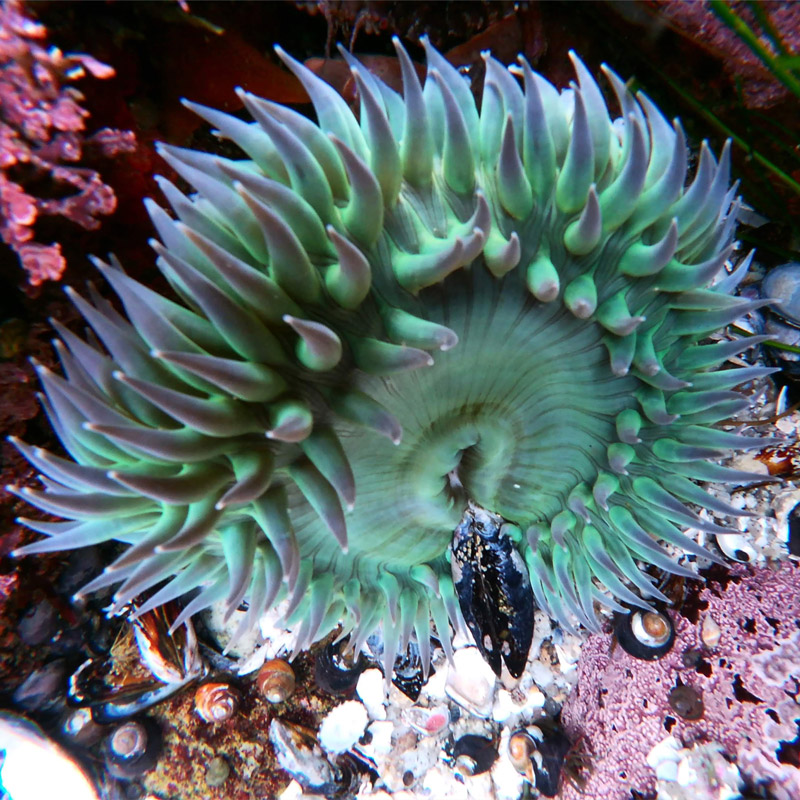
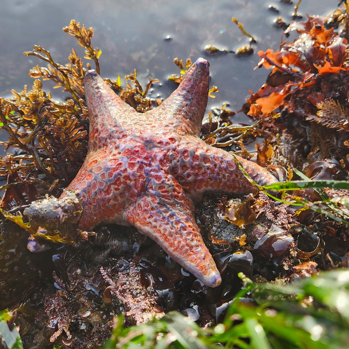
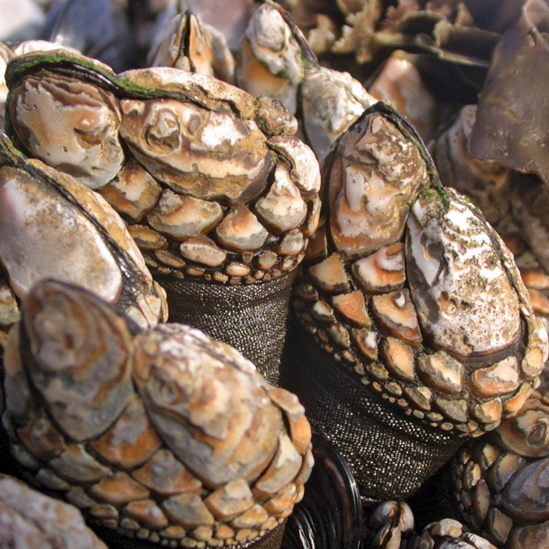
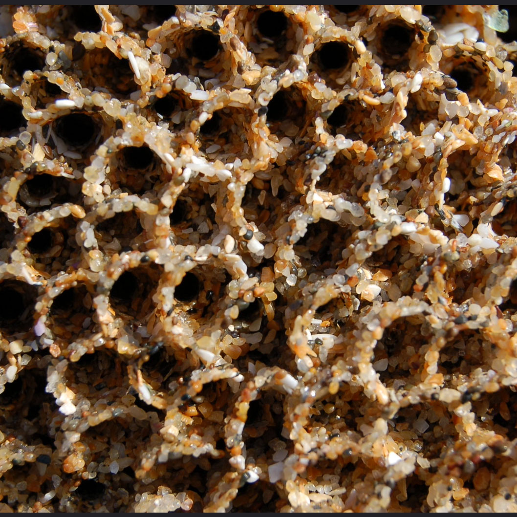
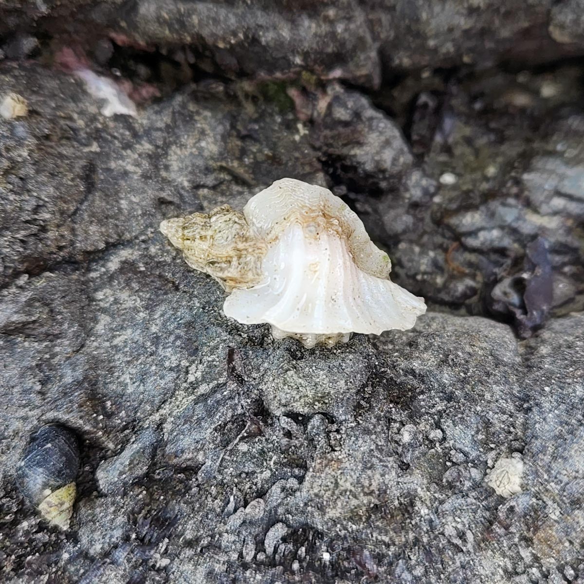
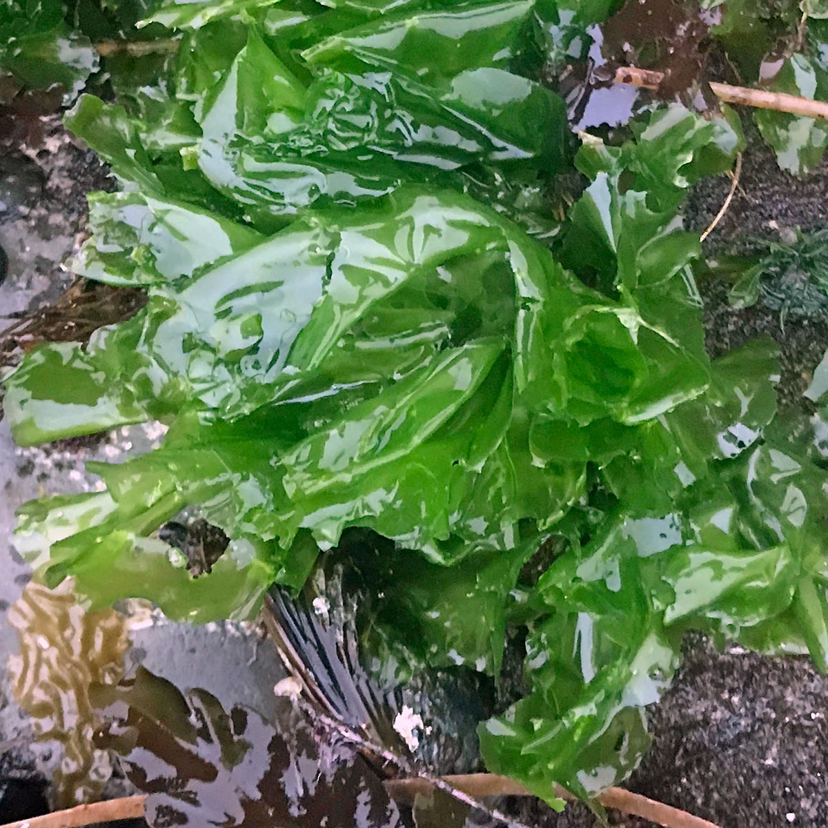
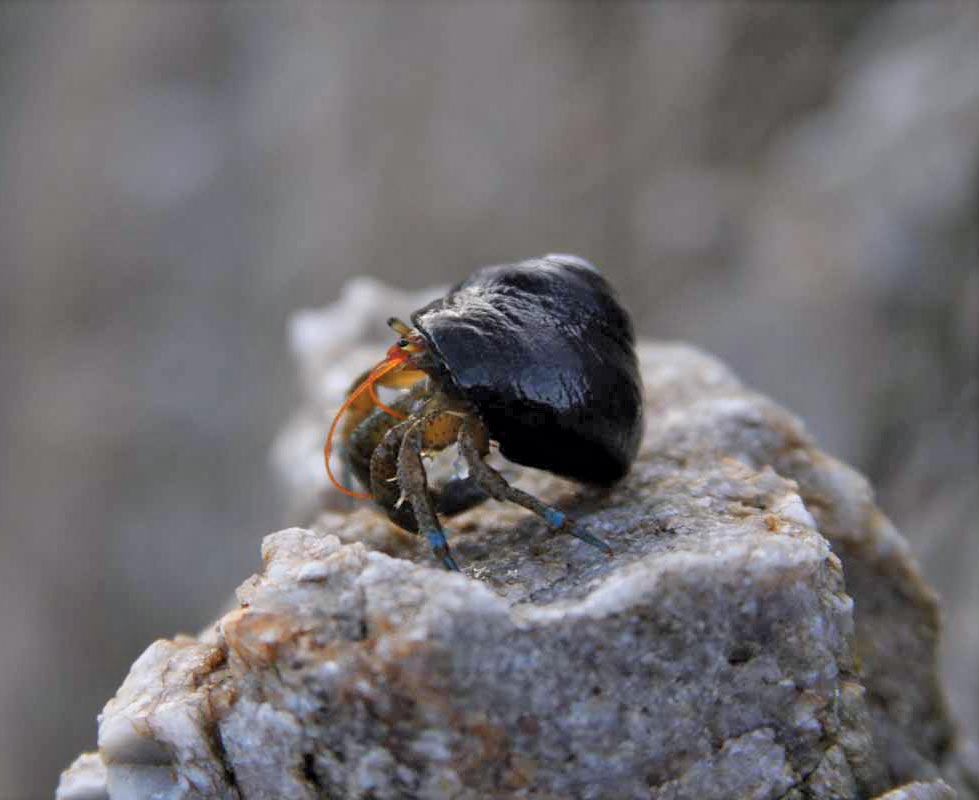
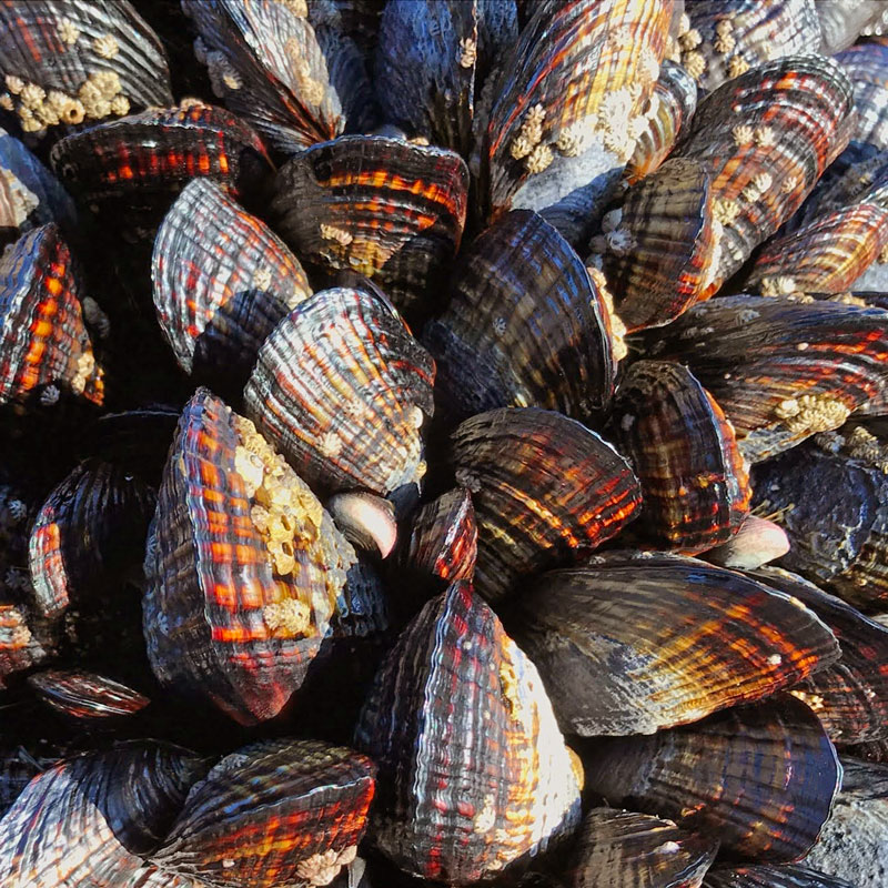
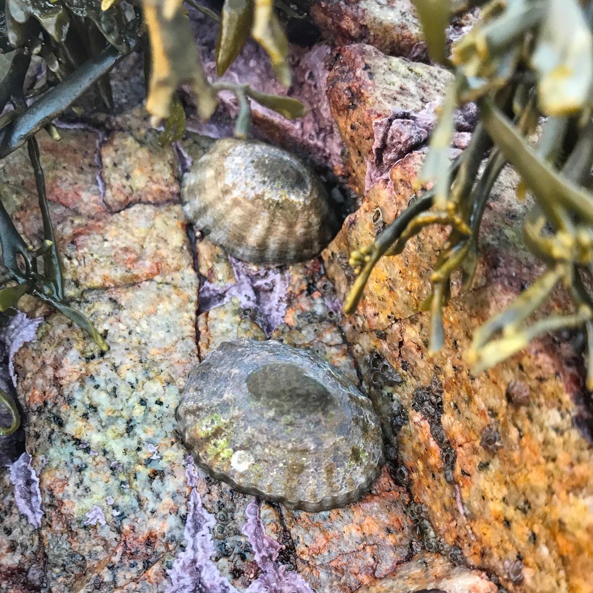
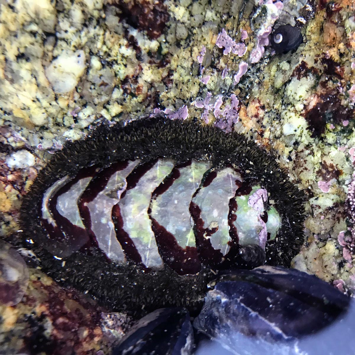
The monitoring site is located in a boulder field, at the west end of the County Line Beach. Walk along the bluff to the wooden staircase. You can walk down the stairs straight to the boulder field.
Parking:
Park in the dirt lot along Highway 1, across from Neptune’s Net.
Restrooms:
Portable toilets are located at the west end of the dirt parking lot.