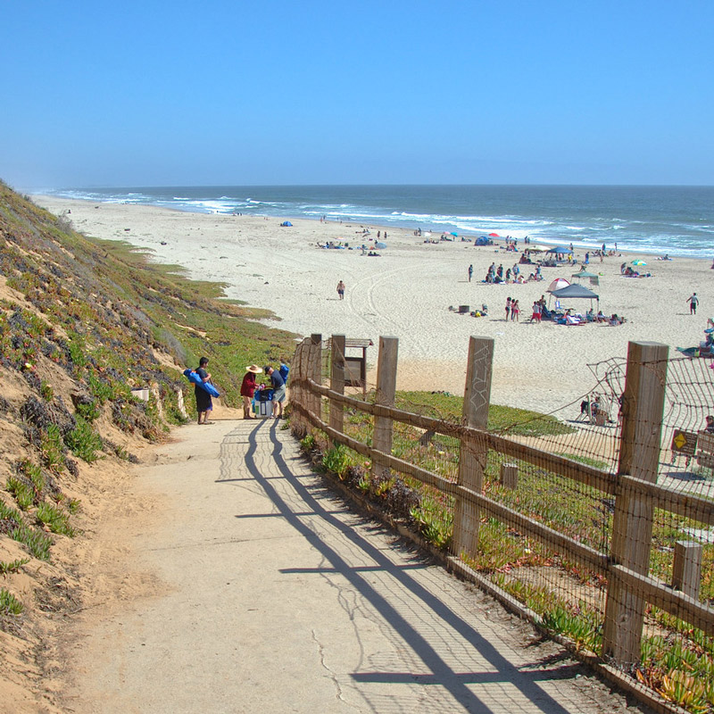
This beach is along the coast near Watsonville, CA. From Highway 1 either north or southbound, take the 129/ Riverside Drive exit. Turn towards the coast, left if northbound and right if southbound. The road will turn to the right around a gas station. At the corner of Beach and Lee Road, turn left onto Beach. Go down Beach for approximately one mile. At the fork, take the right turn and head along the fields for another mile. On the left will be a turn for Sunset State Beach. You will have to pay to enter the beach. Once inside the State Beach area you can park at the top parking lot and walk down the steps/ramp to the beach. Or you can reach the beach by taking the road to the left from the ranger station and following it past the campgrounds to the beach.
The monitoring site is along the beach either north of the lower parking lot, or south along the beach from the upper parking lot.
Parking:
Once inside the State Beach area you can park at the top parking lot and walk down the steps/ramp to the beach. Or you can reach the beach by taking the road to the left from the ranger station and following it past the campgrounds to the beach.
Restrooms:
There are bathrooms at this beach, either at the top near the ranger station or at the bottom in the day use areas.