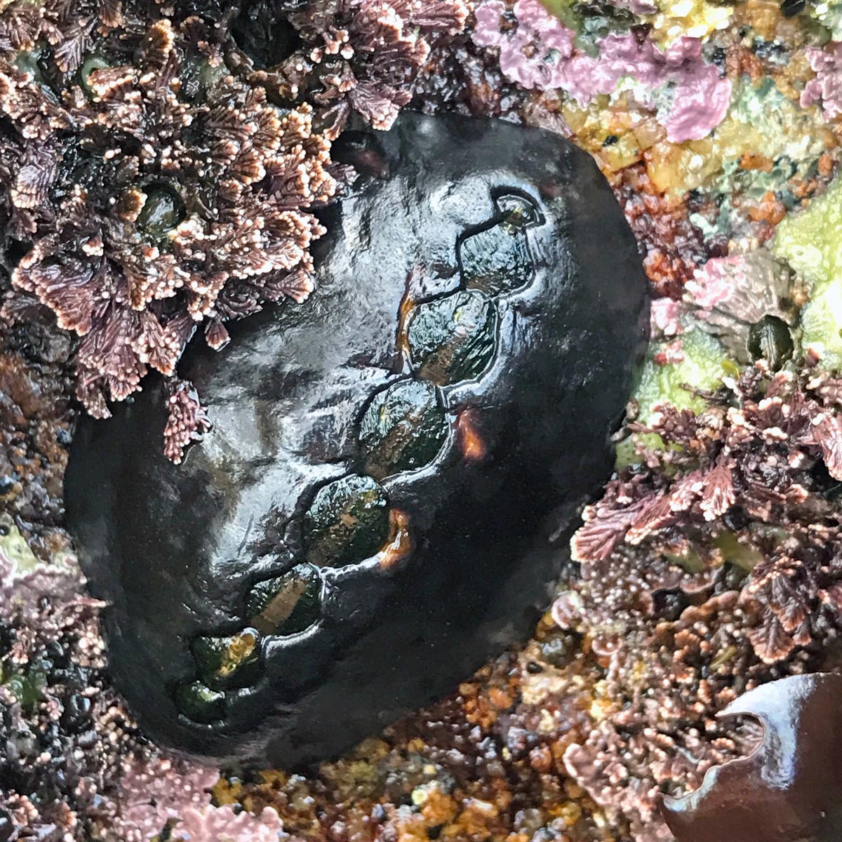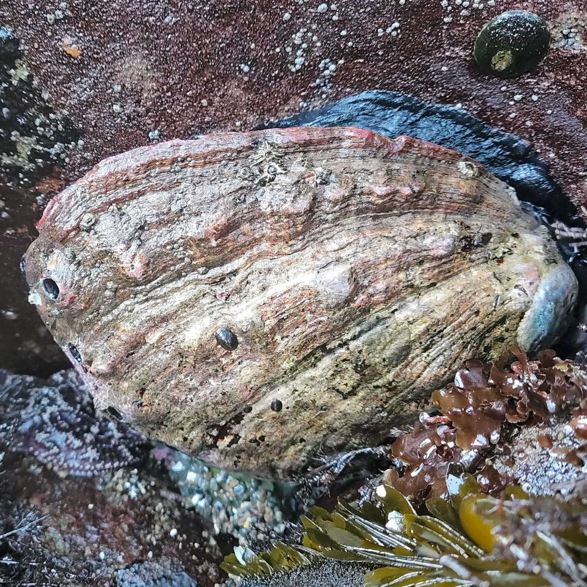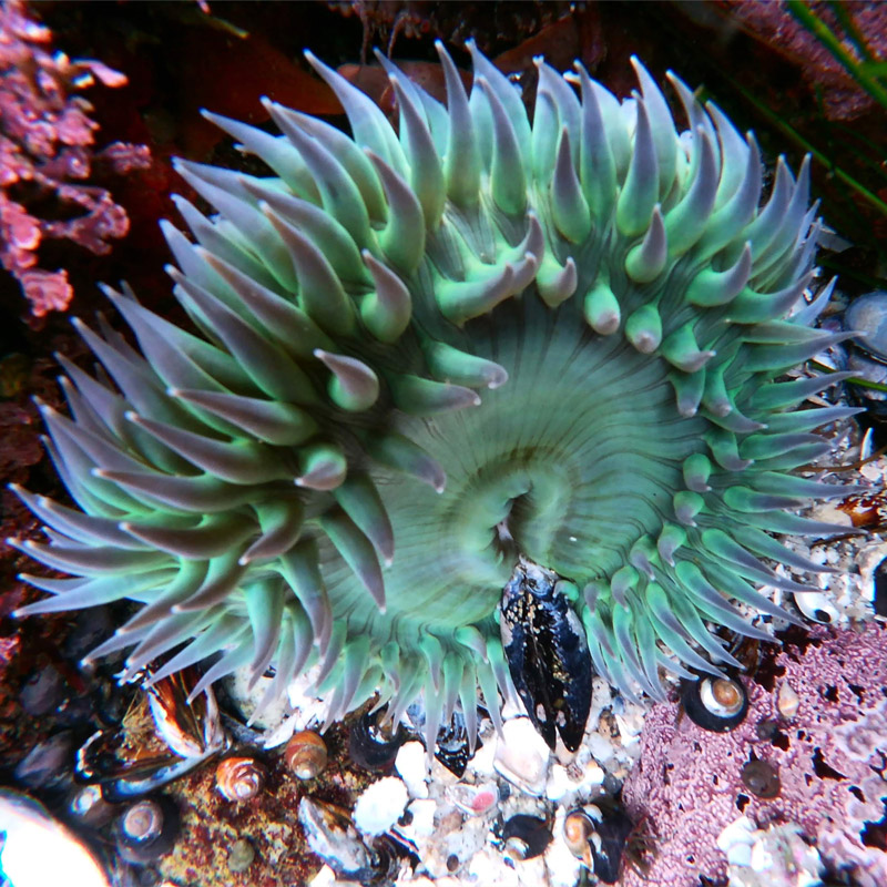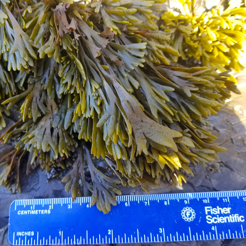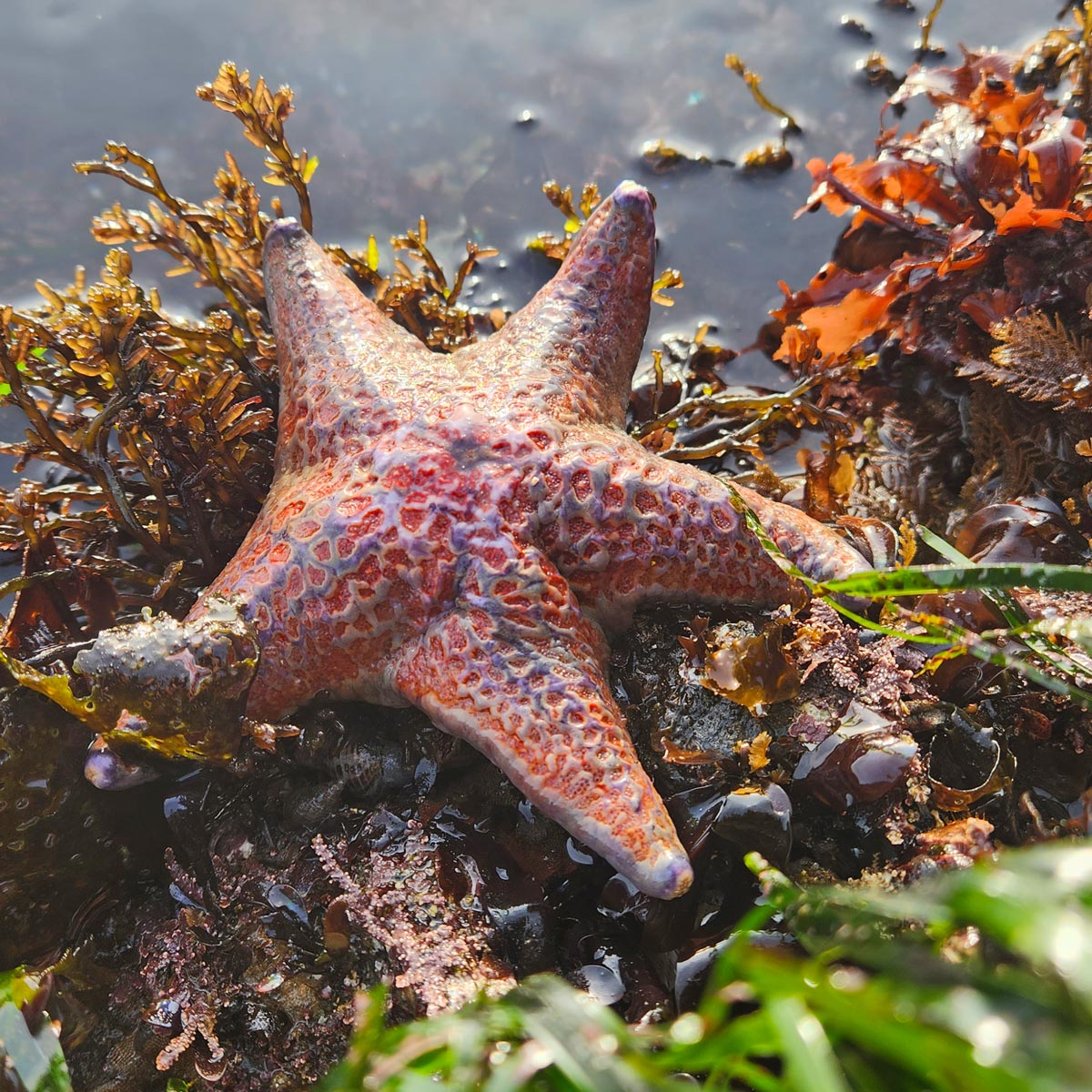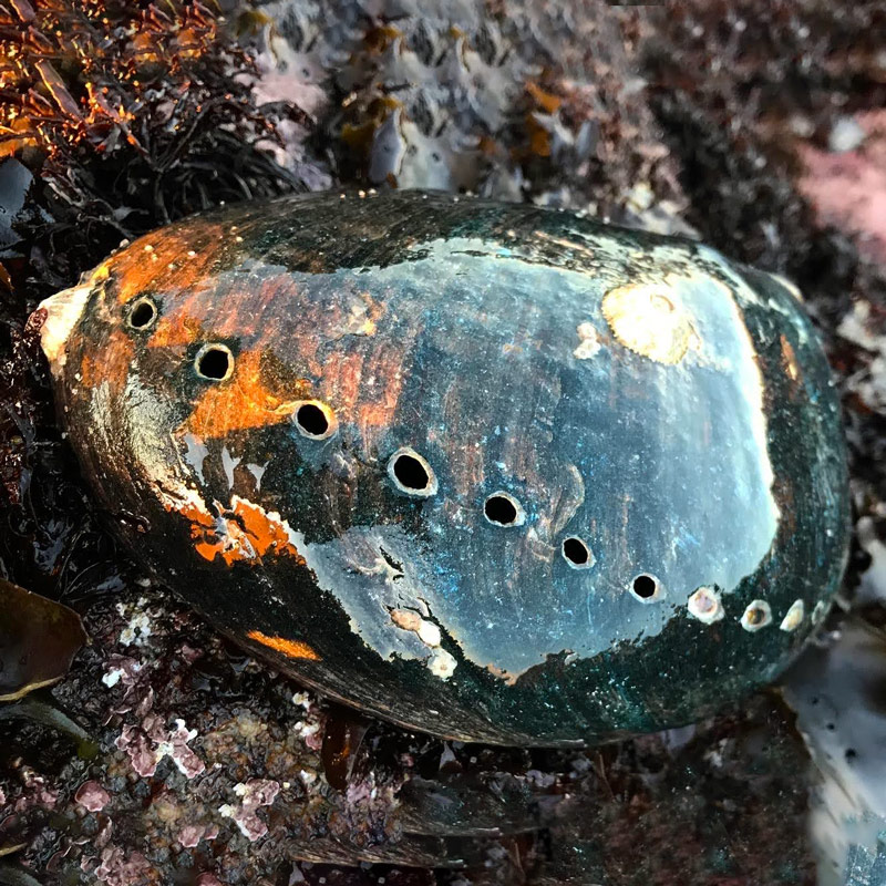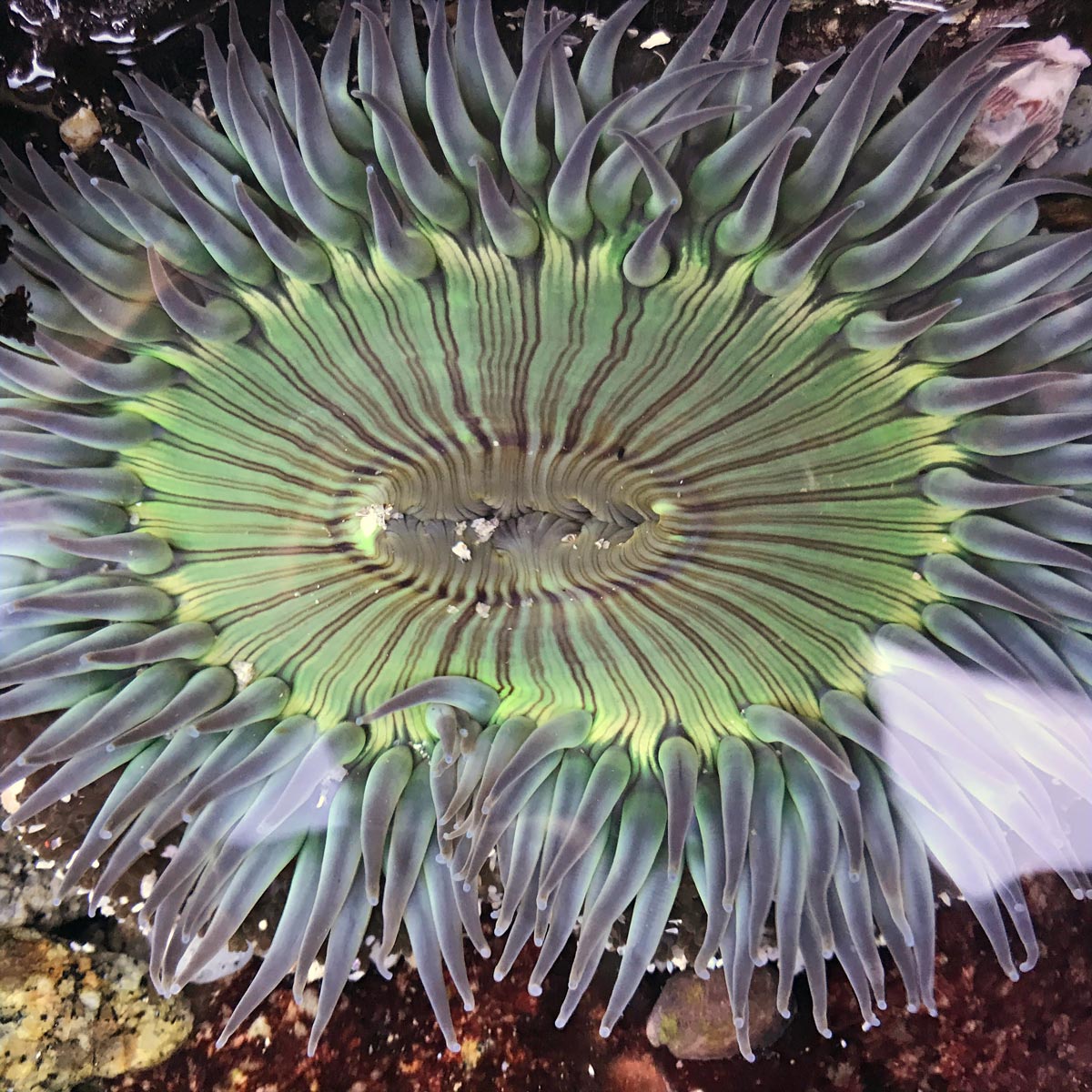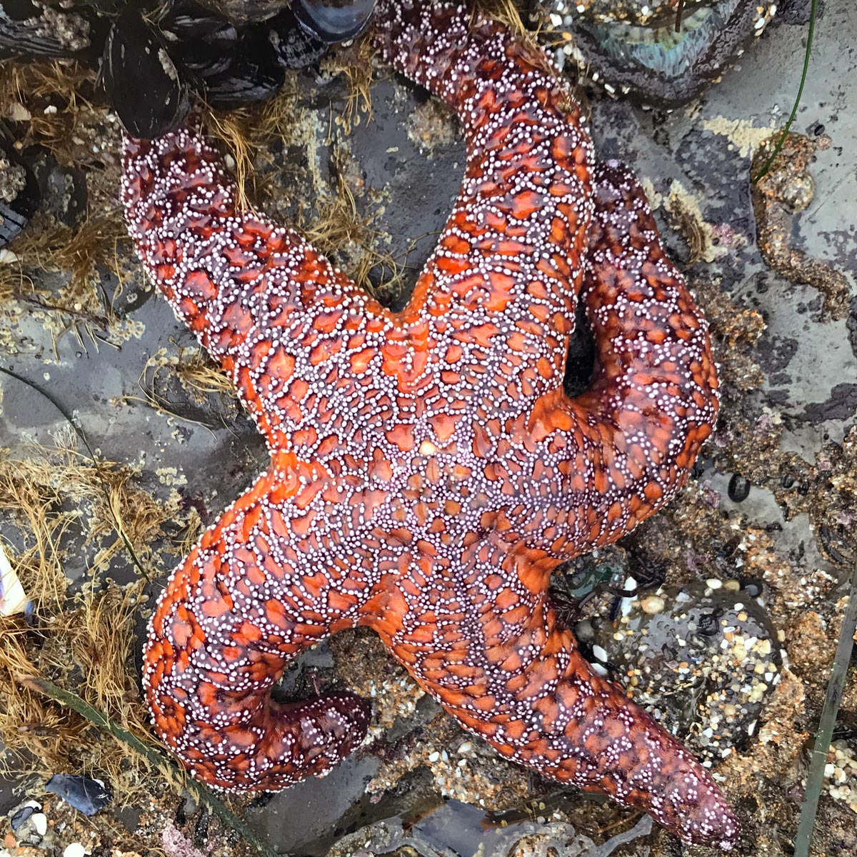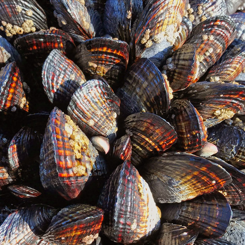
Ocean conditions can greatly affect coastal biology. Many intertidal organisms live in the ocean during the larval stage of their lives. Upwelling brings nutrients to the surface for coastal animals and algae. Deceases in ocean pH can impede animals from their calcium-carbonate shells. For all these reasons, LiMPETS wants to help you find oceanographic data that will best answer your research question.
How To Use Oceanographic Data (PDF)
Resources
- Tides and surf – Get the upcoming predictions for your monitoring day or see historic tides and surf of past monitoring days
- Historical weather
- San Francisco Station 9414290 – see historic tides, water temperature, and barometric pressure
- Monterey Station 9413450 – see historic tides, water temperature, barometric pressure
- Santa Barbara Station 9411340 – see historic tides, water temperature, barometric pressure
- Scripps Pier and Station 9410230 – see historic tides, water temperature, barometric pressure
- Sea-surface temperature – Download data from a specified geographic region
- Sea-surface temperature map – create a map of sea-surface temperature of a geographic region (make sure to cite CoastWatch if you end up using their maps!)
- Sea-level rise – Find the rate of sea-level rise observed at your monitoring site
- Chlorophyll satellite detection – Chlorophyll-a indicates the amount of primary productivity on the surface of the ocean
- West Ocean Data Portal – you can see human impacts, boundaries, and management
- Global temperature, salinity, pH, and sea level – This NOAA map generator will give you an overview of global oceanographic trends
- Are you interested in birds and their abundance correlation with sand crabs? Here are two resources to help you: Learn more about Northern California Shorebirds and Shorebird published information on Northern California Beaches
Want to explore other datasets? We recommend NOAA’s CoastWatch West Coast Regional Node.
Happy data hunting!